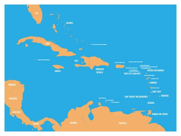
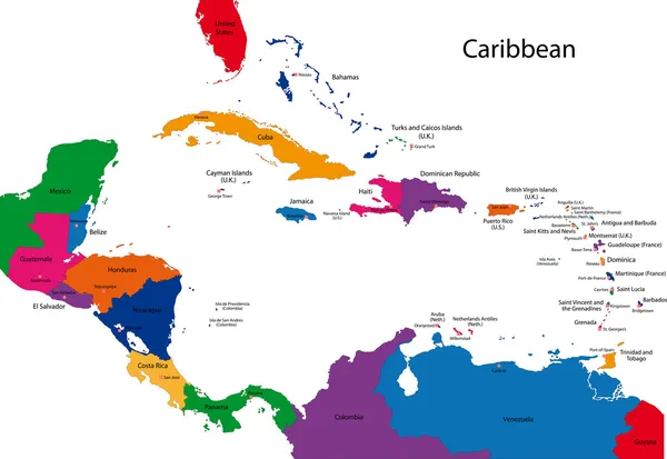
Stock vector Lesser Antilles political map

Published: Dec.12, 2016 09:31:30
Author: Furian
Views: 1090
Downloads: 6
File type: vector / eps
File size: 2.52 MB
Orginal size: 9666 x 6455 px
Available sizes:
Level: silver