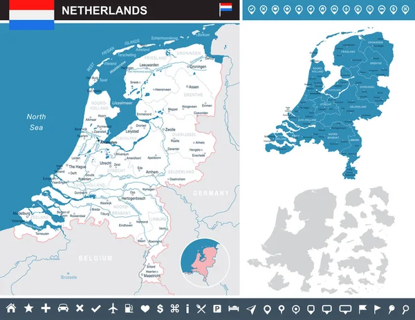
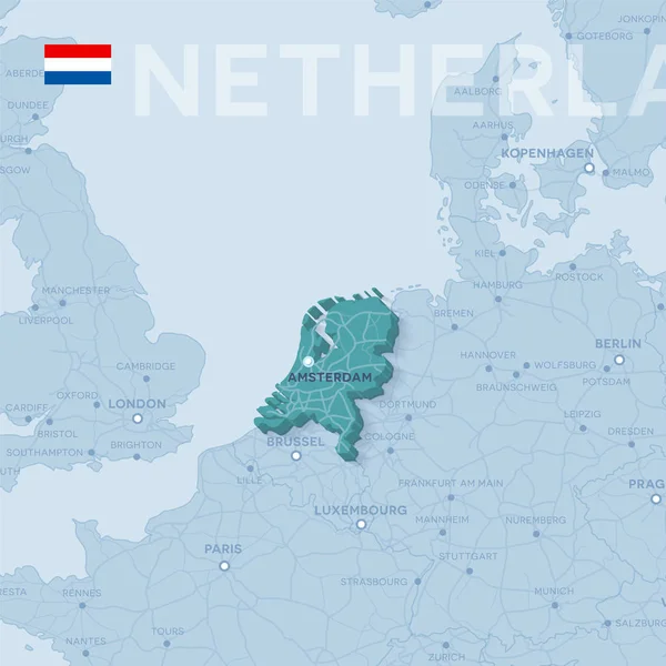
Stock vector Map of cities and roads in Netherlands.
Published: Feb.08, 2018 11:18:09
Author: Snyde
Views: 20
Downloads: 0
File type: vector / eps
File size: 8.16 MB
Orginal size: 4725 x 4725 px
Available sizes:
Level: beginner