Home
Images
Vectors
Videos
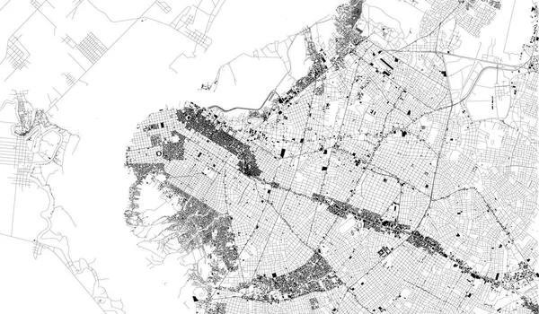
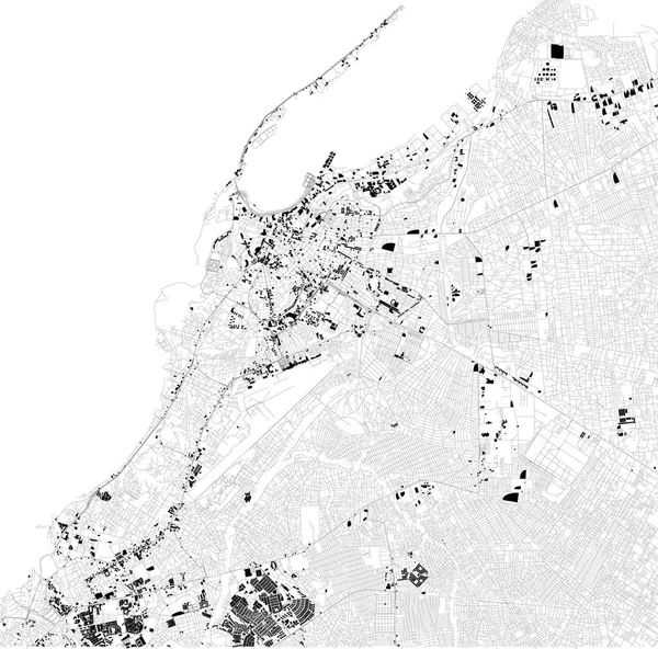
Stock vector Map of Luanda, satellite view, black and white map. Street directory and city map. Africa
Published:
Oct.01, 2018 08:59:25
Author:
vampy1
Views:
81
Downloads:
2
File type:
vector
/
eps
File size:
10.48 MB
Orginal size:
5512
x
5446
px
Available sizes:
S
(500 x 494)
M
(1000 x 988)
L
(2000 x 1976)
XL
(5512 x 5446)
VECT
(5512 x 5446)
EL0
(5512 x 5446)
Level:
silver
Download Vector
Vector topics:
Background
Design
Shape
Business
Travel
Silhouette
Old
City
Street
Earth
World
Tourism
Detailed
Cityscape
Capital
Skyline
Outline
Country
Map
Cartography
Geography
National
History
Africa
State
Tour
Location
Place
Political
Administrative
Region
Roads
Central
Streets
Maps
Atlas
Nation
County
Divisions
Routes
Districts
Angola
Munster
Luanda
Similar stock vectors
Satellite Map Of Adalia, Turkey, City Streets. Street Map, City Center. Asia
10659 × 5992
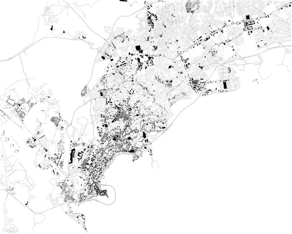
Satellite Map Of Panama City, Panama, City Streets. Street Map, City Center. South America
6703 × 5380
Satellite Map Of Valencia On The East Coast Of Spain, It Is The Capital Of The Autonomous Community Of Valencia And The Third-largest City. Map Of Streets And Buildings Of The Town Center. Europe
7128 × 6732
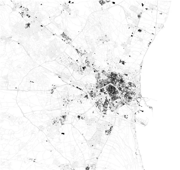
Satellite Map Of Philadelphia, Philly, Pennsylvania, City Streets. Street Map, City Center. Usa
5409 × 5600
Satellite Map Of Asuncin, Paraguay, City Streets. Street Map, City Center. South America
6841 × 3995
Satellite Map Of Thessaloniki, It Is Is The Second-largest City In Greece. Map Of Streets And Buildings Of The Town Center. Europe
7773 × 7106
Satellite Map Of Recife, It Is Is The Fourth-largest Urban Agglomeration In Brazil. Map Of Streets And Buildings Of The Town Center
5906 × 6516
Satellite Map Of Quito, Ecuador, City Streets. Street Map, City Center. South America
6964 × 3995