Home
Images
Vectors
Videos
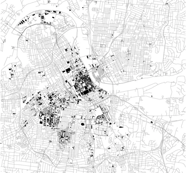
Stock vector Satellite map of Philadelphia, Philly, Pennsylvania, city streets. Street map, city center. Usa
Published:
Nov.06, 2018 14:21:47
Author:
vampy1
Views:
102
Downloads:
4
File type:
vector
/
eps
File size:
10.16 MB
Orginal size:
5409
x
5600
px
Available sizes:
S
(483 x 500)
M
(966 x 1000)
L
(1932 x 2000)
XL
(5409 x 5600)
VECT
(5409 x 5600)
EL0
(5409 x 5600)
Level:
silver
Download Vector
Vector topics:
Vector
Background
Graphic
Design
Isolated
Sign
Travel
People
Transportation
Border
Road
Traffic
Symbol
Architecture
Building
City
Urban
Information
Street
Attention
Usa
Highway
Landmark
Town
South
Signboard
Eastern
Outline
Country
District
Map
Buildings
Tourist
Poster
America
Boundary
Destination
Welcome
Republic
Notice
Atlas
Democratic
Pennsylvania
Philadelphia
Philly
Wanderlust
Top View
Aerial View
City Map
Satellite Map
Similar stock vectors
Map Of Montreal, Satellite View, Black And White Map. Street Directory And City Map. Canada
5623 × 6933
Satellite Map Of Isfahan, Iran, City Streets. Street Map, City Center. Asia
10395 × 5992
Urban City Vector Map Of Austin. Vector Illustration, Austin Map Grayscale Black And White Art Poster. Road Map Image With Roads, Metropolitan City Area View.
4001 × 4001
Satellite Map Of Nashville, Tennessee, Usa, City Streets. Street Map And Map Of The City Center.
6454 × 5992
Satellite Map Of Detroit, Michigan,United States. City Streets. Street Map And Map Of The City Center
6661 × 3997
New York Map, Satellite View, The United States, Illustration, Houses, Neighborhoods And Streets
4227 × 2823
Satellite Map Of N'Djamena, Chad, City Streets. Street Map, City Center. Africa
9684 × 5992
New York Map, Satellite View, The United States, Illustration, Houses, Neighborhoods And Streets
3512 × 5201