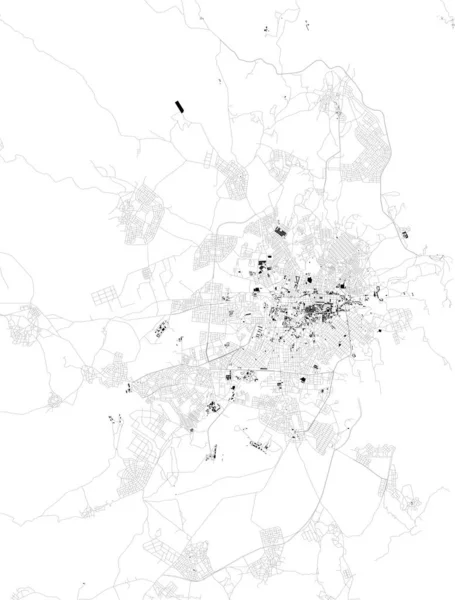
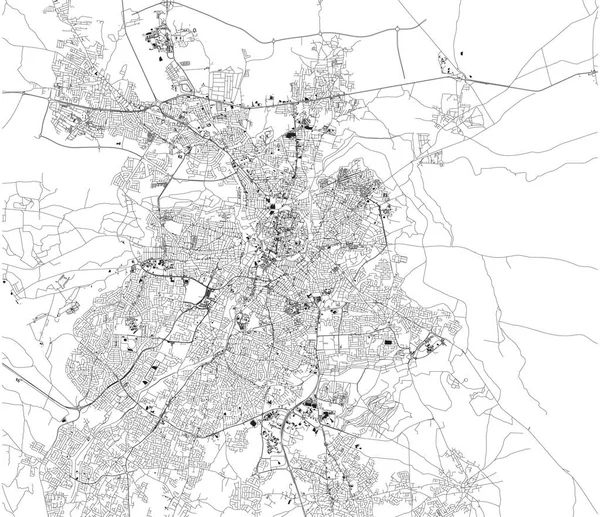
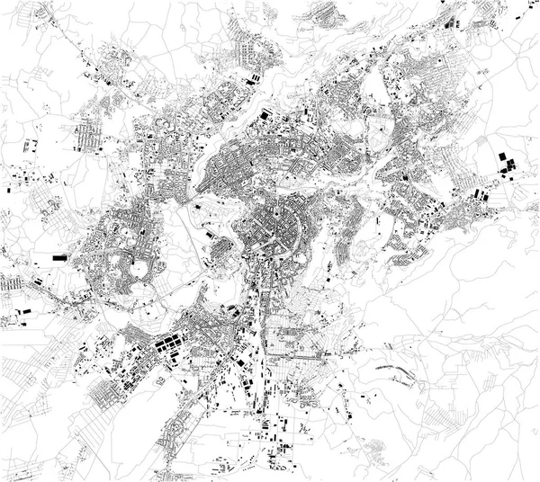
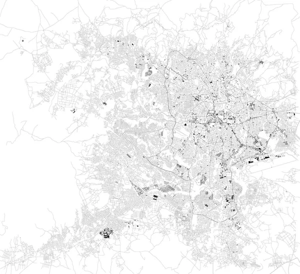
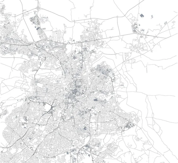
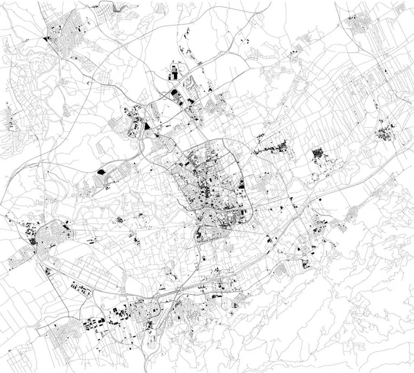
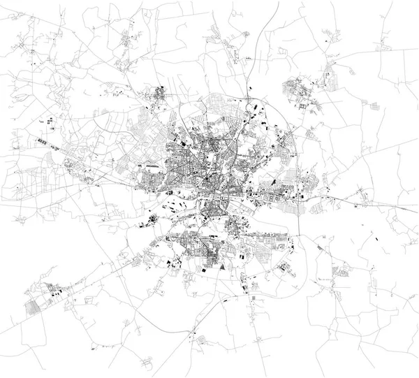
Stock vector Map of Nicosia and Strovolos, satellite view, city, Cyprus. Turkish part and Greek part of the urban area
Published: May.29, 2018 05:36:19
Author: vampy1
Views: 162
Downloads: 2
File type: vector / eps
File size: 5.31 MB
Orginal size: 5784 x 4992 px
Available sizes:
Level: silver
Similar stock vectors

Map Of Kaliningrad, Satellite View, Black And White Map. Street Directory And City Map. Russia
10171 × 9184