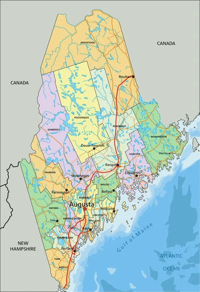
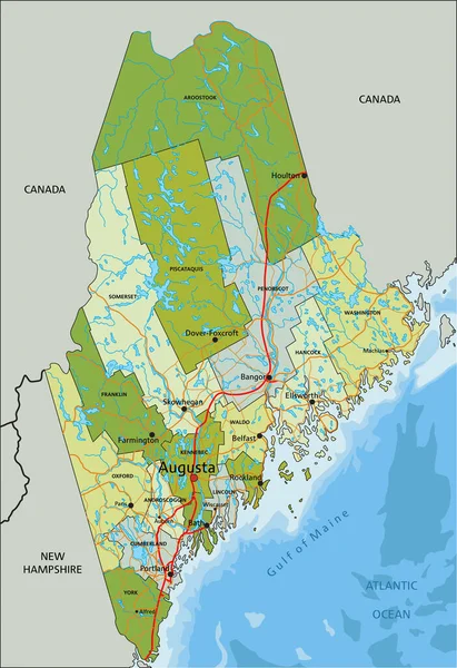
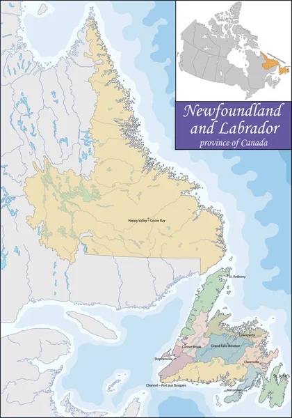
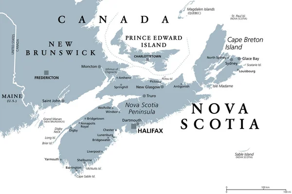
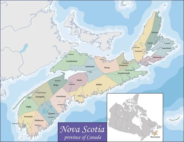
Stock vector Map of Nova Scotia
Published: Nov.25, 2016 14:32:09
Author: Volina
Views: 340
Downloads: 5
File type: vector / eps
File size: 14.25 MB
Orginal size: 7021 x 5431 px
Available sizes:
Level: silver