Home
Images
Vectors
Videos
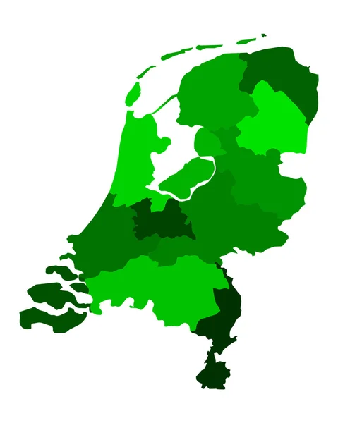
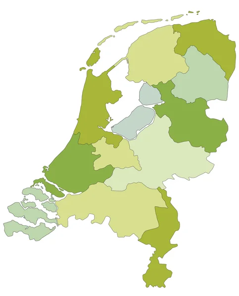
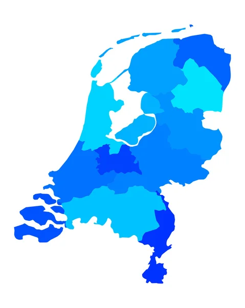
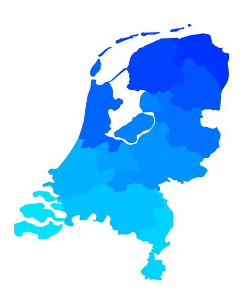
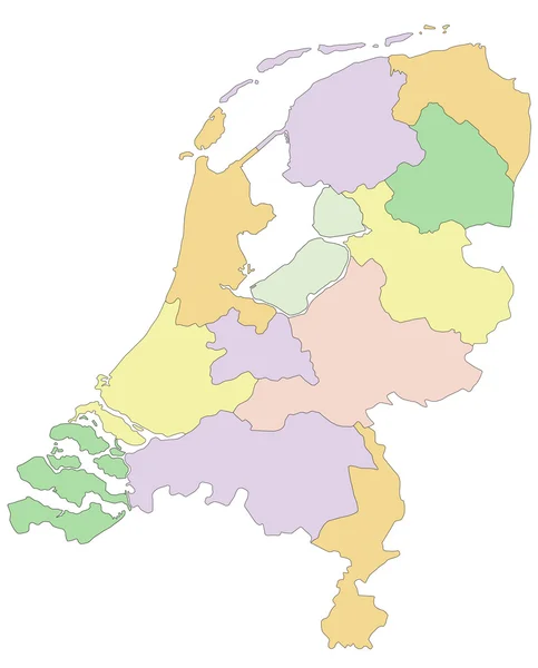
Stock vector Map of the Netherlands
Published:
Jun.17, 2014 13:05:52
Author:
Malachy666
Views:
271
Downloads:
7
File type:
vector
/
ai
File size:
3.25 MB
Orginal size:
4230
x
5000
px
Available sizes:
S
(423 x 500)
M
(846 x 1000)
L
(1692 x 2000)
XL
(4230 x 5000)
VECT
(4230 x 5000)
EL0
(4230 x 5000)
Level:
bronze
Download Vector
Vector topics:
Green
Red
Yellow
Vector
Colored
Illustration
Detail
Brown
City
Netherlands
Holland
Europe
Outline
Country
District
Map
Land
State
Island
Politic
Political
Administrative
Politics
Islands
Region
Division
Cities
Administration
Province
Dutch
Amsterdam
County
Rotterdam
Districts
Provinces
Regions
Maastricht
Leiden
Eindhoven
Counties
Utrecht
Groningen
Apeldoorn
Arnhem
Den Haag
Enschede
Tilburg
Similar stock vectors
Map Of The Netherlands
4000 × 5000
Map Of The Netherlands
4000 × 5000
Netherlands Political Map With Separated Layers.
4572 × 5670
Map Of The Netherlands
4000 × 5000
Map Of The Netherlands
4000 × 5000
Netherlands - Political Map
4572 × 5670
Netherlands Regions Map Vector
5200 × 5200
High Quality Political Map Of Belgium And Netherlands With Borders Of The Regions Or Provinces. Vector Illustration
4000 × 4000