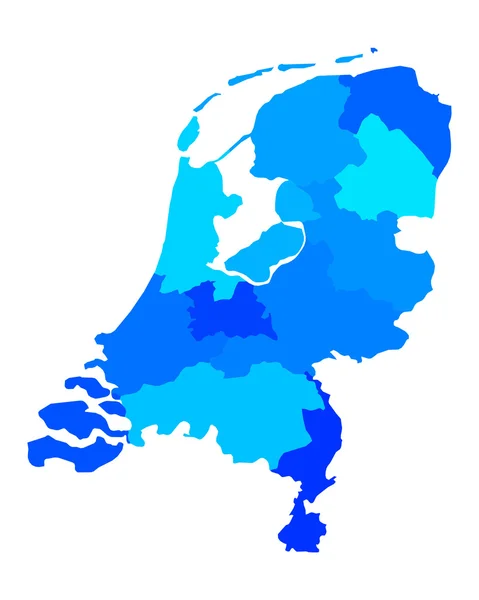
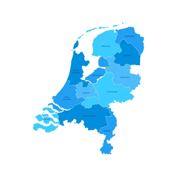
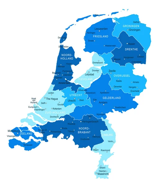
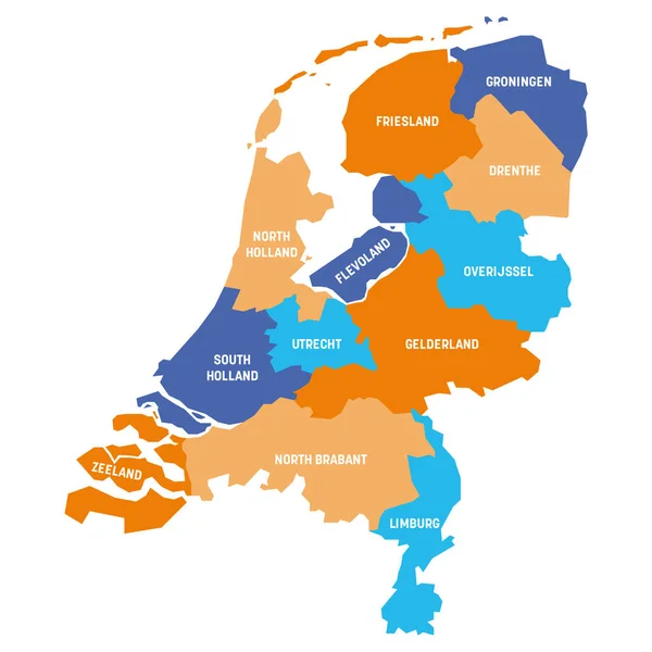
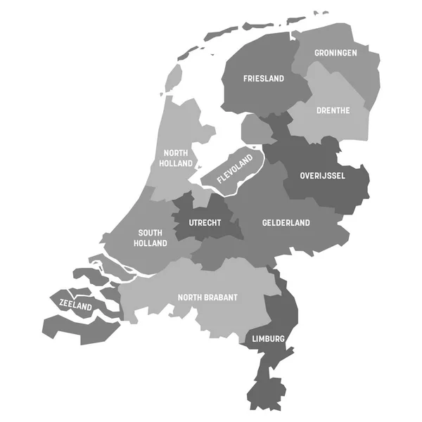
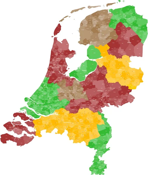
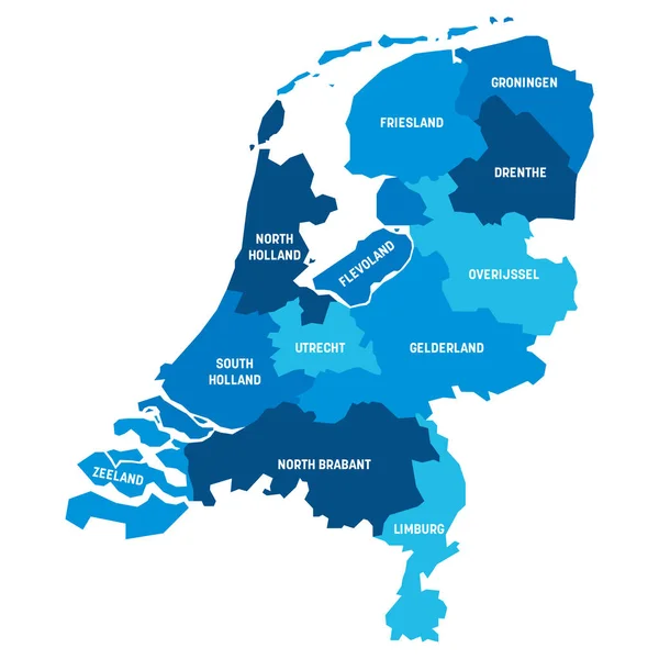
Stock vector Netherlands Regions Map Vector

Published: Apr.30, 2021 09:25:30
Author: alegretgrafic
Views: 1
Downloads: 0
File type: vector / eps
File size: 1.16 MB
Orginal size: 5200 x 5200 px
Available sizes:
Level: beginner