Home
Images
Vectors
Videos
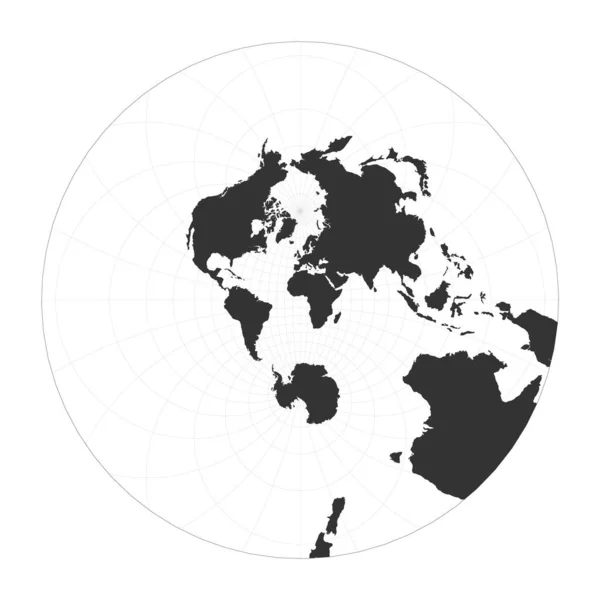
Stock vector Map of The World Modified stereographic projection for Europe and Africa Globe with latitude and
Published:
Jan.26, 2021 09:02:48
Author:
gagarych
Views:
3
Downloads:
0
File type:
vector
/
eps
File size:
0.88 MB
Orginal size:
5796
x
5200
px
Available sizes:
S
(500 x 449)
M
(1000 x 897)
L
(2000 x 1794)
XL
(5796 x 5200)
VECT
(5796 x 5200)
EL0
(5796 x 5200)
Level:
bronze
Download Vector
Vector topics:
White
Vector
Background
Graphic
Illustration
Design
Isolated
Shape
Beautiful
Art
Travel
Abstract
Silhouette
Border
Symbol
Create
Global
Flat
Information
Earth
Planet
World
Artwork
Landmark
Globe
Navigation
Outline
Map
Geography
Latitude
Longitude
Continent
Report
Chart
Topography
Location
Boundary
Info
Gps
Atlas
Modified
Meridian
Coordinates
Miller
Parallels
Stereographic
Infographics
Infochart
Infograph
Modified Stereographic Miller
Similar stock vectors
Earth Globe Vector Illustration Isolated
5000 × 5000
World Map On White Background. World Map Template With Continents. Europe, Australia, North And South America, Africa. Gray World Map Vector Illustration Template.
9000 × 4500
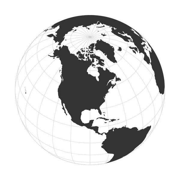
Map Of The World Airys Minimumerror Azimuthal Projection Globe With Latitude And Longitude Net
5485 × 5485
World Map Silhouette Vector Illustration Isolated On White Background
8208 × 4500
Map Of The World Stereographic Globe With Latitude And Longitude Net World Map On Meridians And
5499 × 5499
Vector Earth Globe Focused On Europe Continent
6000 × 6000
Vector Earth Globe Focused On North America
6000 × 6000
World Map, Vector Illustration
6000 × 6000