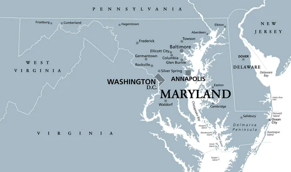
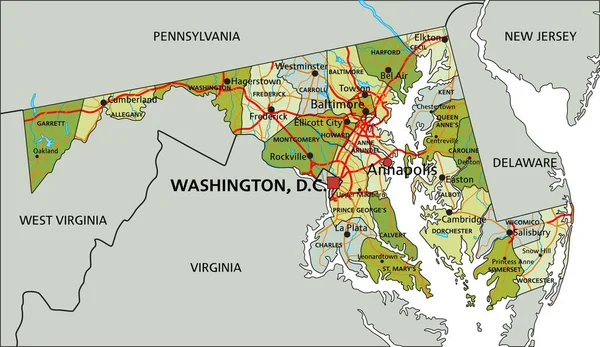
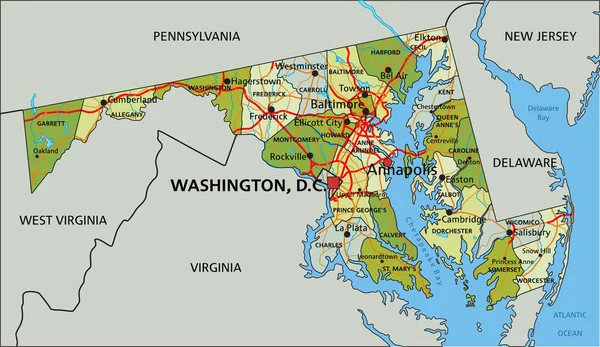
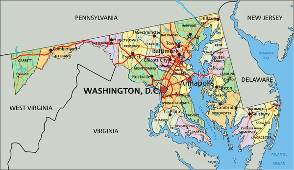
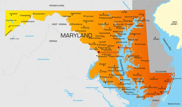
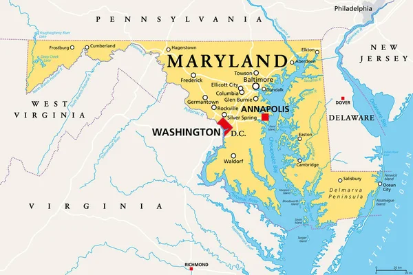
Stock vector Maryland, MD, political map. State in the Mid-Atlantic region of the United States of America. Capital Annapolis. Old Line State. Free State. Little America. America in Miniature. Illustration. Vector
Published: Oct.12, 2020 07:15:34
Author: Furian
Views: 30
Downloads: 7
File type: vector / eps
File size: 4.36 MB
Orginal size: 9000 x 6000 px
Available sizes:
Level: silver