Home
Images
Vectors
Videos
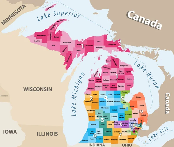
Stock vector Michigan's congressional districts high detailed vector map
Published:
Jun.14, 2018 07:25:21
Author:
Jktu_21
Views:
14
Downloads:
0
File type:
vector
/
eps
File size:
6.54 MB
Orginal size:
8334
x
7070
px
Available sizes:
S
(500 x 424)
M
(1000 x 848)
L
(2000 x 1697)
XL
(8334 x 7070)
VECT
(8334 x 7070)
EL0
(8334 x 7070)
Level:
silver
Download Vector
Vector topics:
Vector
Illustration
Travel
Border
Concept
Country
District
Map
Geography
Land
Lake
Superior
State
America
Island
Political
Canada
Nation
Erie
Michigan
Detroit
Huron
United States
Grand Rapids
Similar stock vectors
Michigan
3392 × 3619
Vector Map Of The U.S. State Of Michigan
3996 × 4000
Highly Detailed Editable Political Map With Separated Layers. Michigan.
5872 × 5807
Michigan - Highly Detailed Editable Political Map With Labeling.
5872 × 5807
Vector Map Of The U.S. State Of Michigan
3100 × 3121
Michigan, MI, Gray Political Map With Capital Lansing And Metropolitan Area Detroit. State In The Great Lakes Region Of Upper Midwestern United States, Nicknamed Great Lake State, And Wolverine State.
6000 × 6000
Lake Michigan Map, Vector Illustration
4208 × 6576
Michigan - Vector Map Of State
5409 × 5475