Home
Images
Vectors
Videos
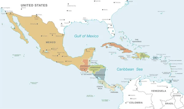
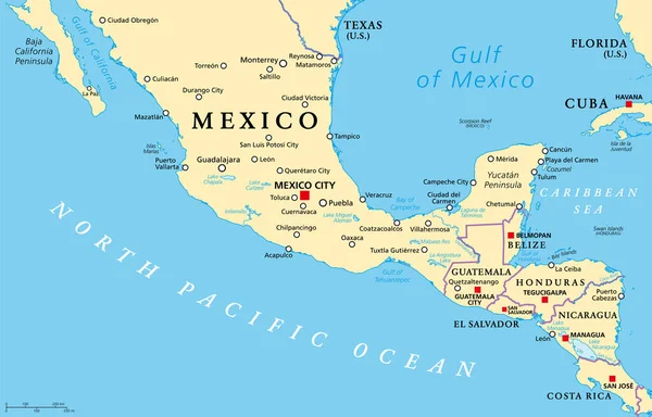
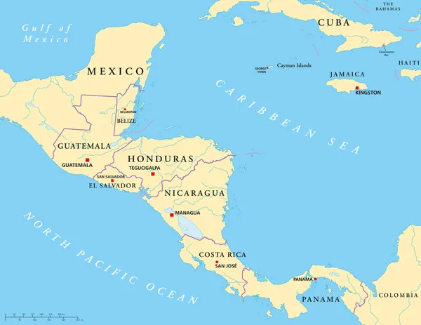
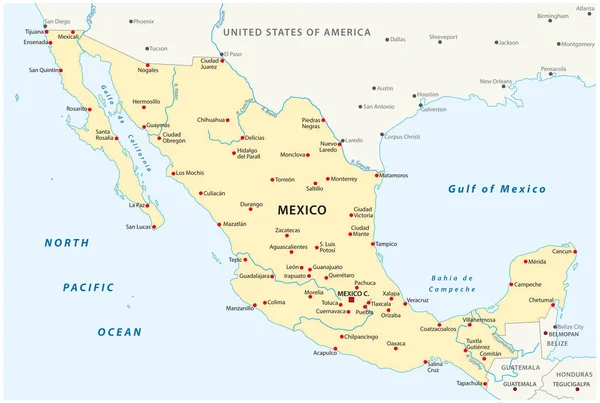
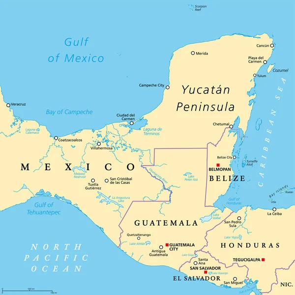
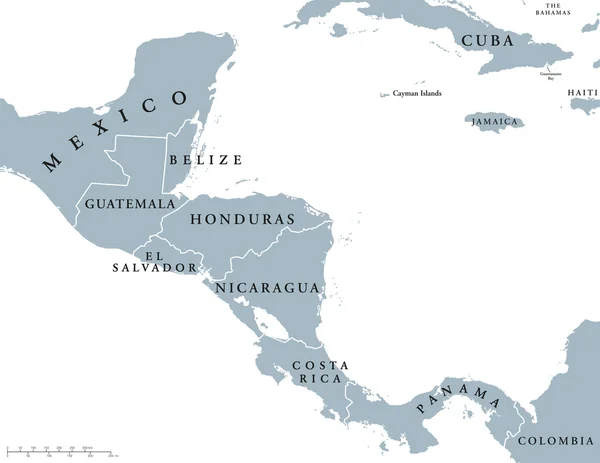
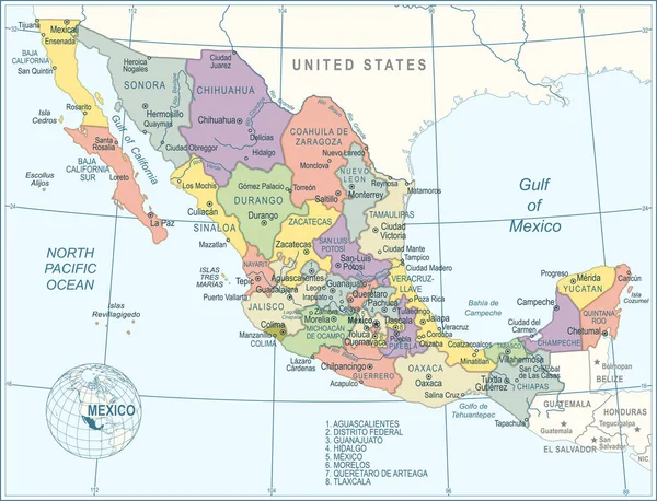
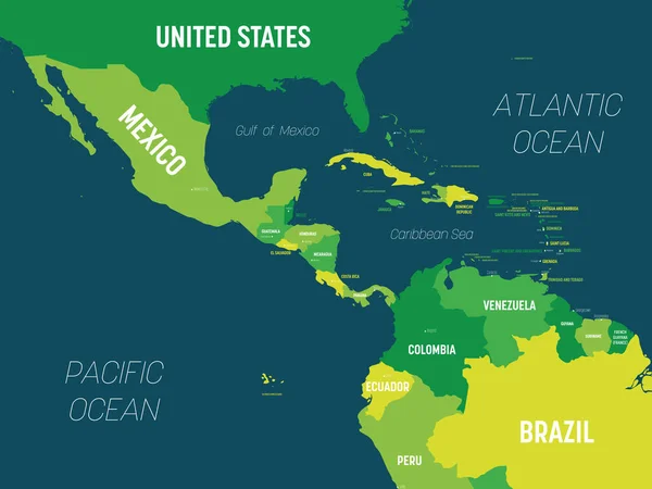
Stock vector Middle America political map
Published:
Jun.28, 2017 07:54:02
Author:
Furian
Views:
1701
Downloads:
5
File type:
vector
/
eps
File size:
4.31 MB
Orginal size:
9033
x
7009
px
Available sizes:
S
(500 x 388)
M
(1000 x 776)
L
(2000 x 1552)
XL
(9033 x 7009)
VECT
(9033 x 7009)
EL0
(9033 x 7009)
Level:
silver
Download Vector
Vector topics:
Vector
Illustration
Labeling
Travel
Sea
Border
Ocean
Capital
South
Cruise
Country
Map
Cartography
Geography
Pacific
Middle
America
Island
Galapagos
Gulf
Atlantic
Destination
Region
Caribbean
Central
Brazil
English
Mexico
Atlas
Americas
Cuba
Venezuela
Ecuador
Colombia
Antilles
South America
Central America
Galapagos Islands
Gulf Of Mexico
Middle America
Political Map
Similar stock vectors
Vector Map Of Central America With Countries, Capitals, Main Cities And Seas And Islands Names In Classic Soft Colors Palette.
8550 × 5097
Mesoamerica, Political Map. Historical Region And Cultural Area In Southern North America And Most Of Central America, From Mexico To Costa Rica. Within This Region Pre Columbian Societies Flourished.
9000 × 5773
Central America Political Map
9296 × 7183
The Mexico Vector Map.
4940 × 3323
Yucatan Peninsula Political Map. Large Peninsula In Southeastern Mexico And Adjectants Portions Of Belize And Guatemala, Separating The Gulf Of Mexico And Caribbean Sea. With El Salvador And Honduras.
6000 × 6000
Central America Countries Political Map
7765 × 6000
Map Of Mexico - Highly Detailed Vector Illustration
5246 × 4009
Central America Map - Green Hue Colored On Dark Background. High Detailed Political Map Central American And Caribbean Region With Country, Capital, Ocean And Sea Names Labeling
6000 × 4500