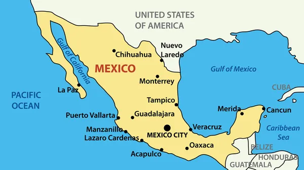
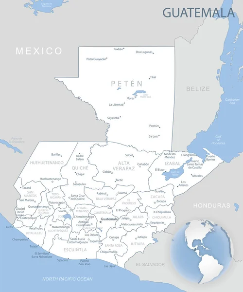
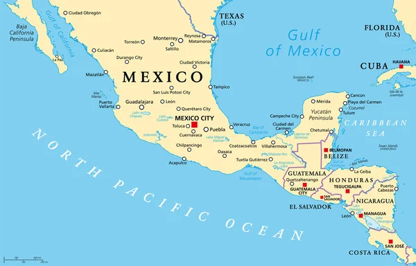
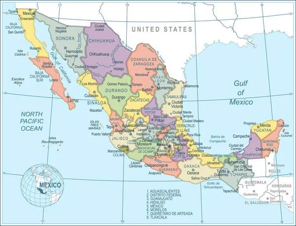
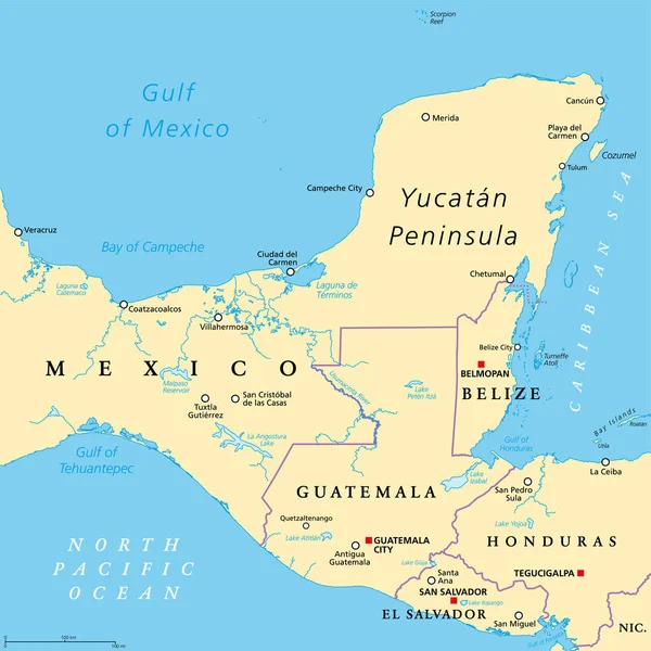
Stock vector Yucatan Peninsula political map. Large peninsula in southeastern Mexico and adjectants portions of Belize and Guatemala, separating the Gulf of Mexico and Caribbean Sea. With El Salvador and Honduras.
Published: Apr.11, 2022 07:46:05
Author: Furian
Views: 22
Downloads: 1
File type: vector / eps
File size: 4.94 MB
Orginal size: 6000 x 6000 px
Available sizes:
Level: silver