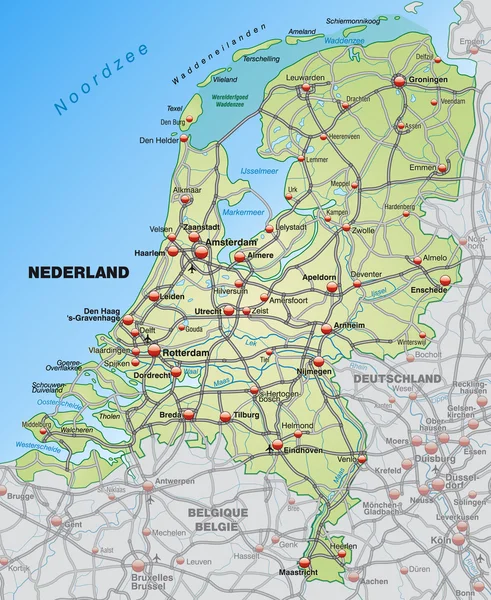
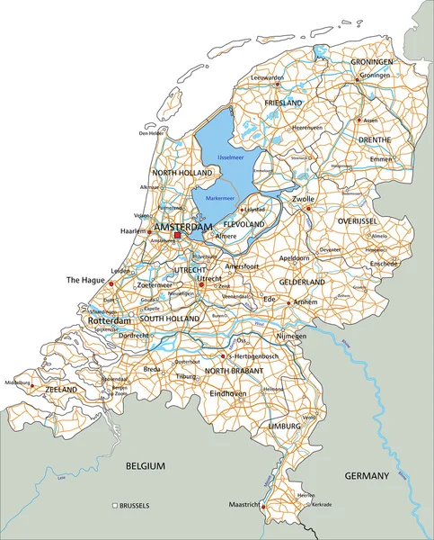
Stock vector Netherlands road map with labeling.
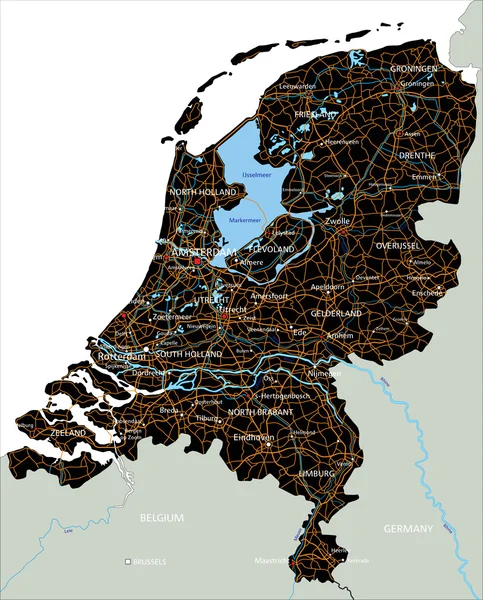
Published: Jul.02, 2015 19:02:21
Author: delpieroo
Views: 251
Downloads: 6
File type: vector / eps
File size: 6.49 MB
Orginal size: 4575 x 5673 px
Available sizes:
Level: bronze
Similar stock vectors
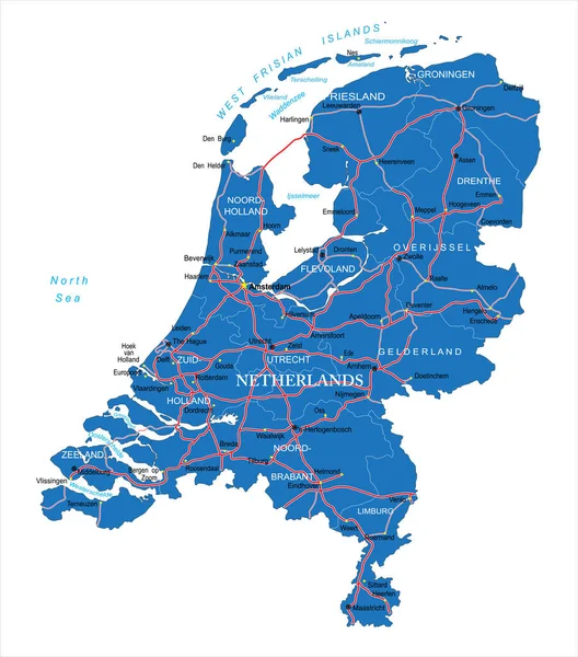
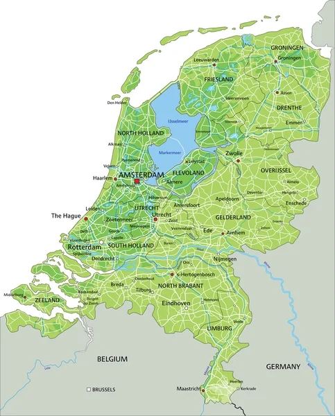
Highly Detailed Vector Map Of Netherlands With Administrative Regions,main Cities And Roads.
6571 × 7463
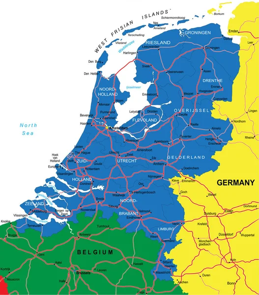
Highly Detailed Vector Map Of Netherlands With Administrative Regions,main Cities And Roads.
4393 × 5000