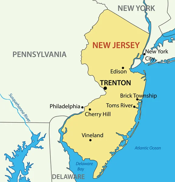
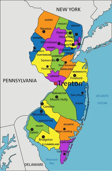
Stock vector New Jersey, NJ, gray political map with capital Trenton. State in the Mid-Atlantic region of the Northeastern United States of America. The Garden State. Illustration on white background. Vector.

Published: Oct.15, 2020 08:01:45
Author: Furian
Views: 84
Downloads: 3
File type: vector / eps
File size: 2.03 MB
Orginal size: 6000 x 8537 px
Available sizes:
Level: silver