Home
Images
Vectors
Videos
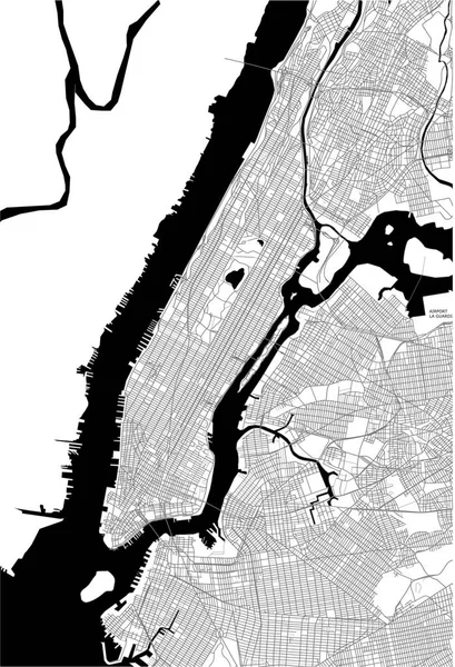
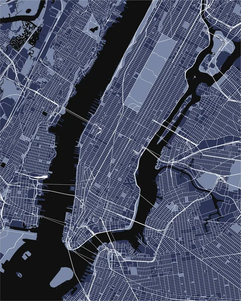
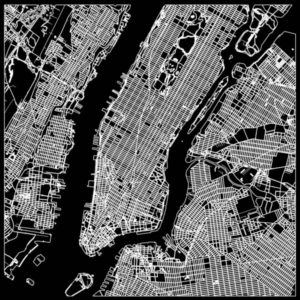
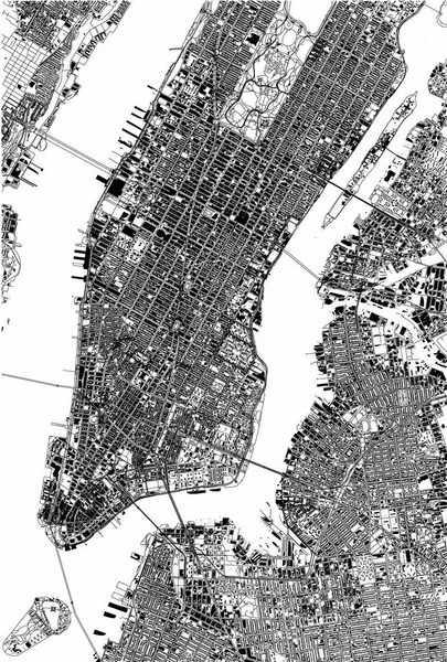
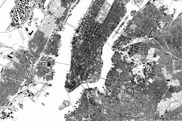
Stock vector New York map, satellite view, the United States, illustration, houses, neighborhoods and streets
Published:
Dec.04, 2017 10:31:07
Author:
vampy1
Views:
133
Downloads:
3
File type:
vector
/
eps
File size:
12.4 MB
Orginal size:
3512
x
5201
px
Available sizes:
S
(338 x 500)
M
(675 x 1000)
L
(1351 x 2000)
XL
(3512 x 5201)
VECT
(3512 x 5201)
EL0
(3512 x 5201)
Level:
silver
Download Vector
Vector topics:
Abstract
Cut
3d
City
Lines
Visit
Mountains
Street
Usa
Town
Section
Map
Houses
Housing
Split
Offices
Terrain
Holidays
Roads
Promote
Rivers
Polygons
Black And White
Aerial View
Satellite View
Tourism Office
New York Map
Land Topography
Similar stock vectors
New York Map, Satellite View, The United States, Illustration, Houses, Neighborhoods And Streets
4227 × 2823
New York City Map Aerial View. Grey Minimal Design. 3D Rendering
5000 × 3000
Map Of The New York City, NY, USA
4701 × 6878
Map Of The New York City, NY, USA
4855 × 6043
Manhattan Nyc Map On Black . Black And White Hand Drawn Illustration. Icon Sign For Print And Labelling.
8000 × 8000
Map Of The New York City, NY, USA
4855 × 6043