photo free
Home Images Vectors Videos

Stock vector New York map, satellite view, the United States, illustration, houses, neighborhoods and streets
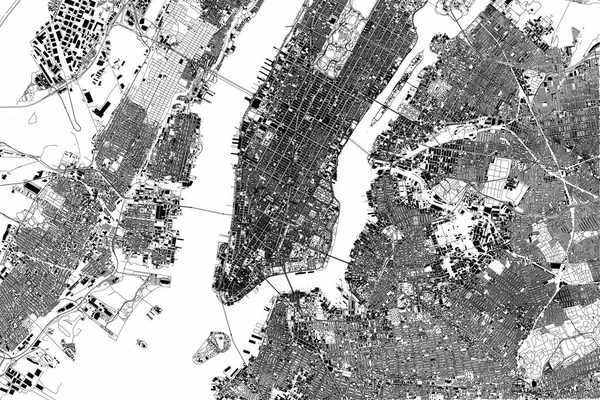
Stock vector New York map, satellite view, the United States, illustration, houses, neighborhoods and streets
Published: Dec.04, 2017 10:31:07
Author: vampy1
Views: 87
Downloads: 2
File type: vector / eps
File size: 29.43 MB
Orginal size: 4227 x 2823 px
Available sizes:
S
(500 x 334)
M
(1000 x 668)
L
(2000 x 1336)
XL
(4227 x 2823)
VECT
(4227 x 2823)
EL0
(4227 x 2823)
Level: silver
Download Vector
Vector topics:

Similar stock vectors

stock image New York city map aerial view. grey minimal design. 3D Rendering

New York City Map Aerial View. Grey Minimal Design. 3D Rendering

5000 × 3000
stock vector New York map, satellite view, the United States, illustration, houses, neighborhoods and streets

New York Map, Satellite View, The United States, Illustration, Houses, Neighborhoods And Streets

3512 × 5201
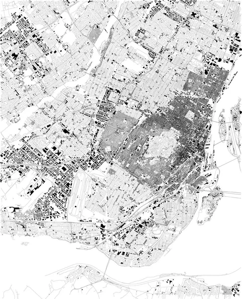
stock vector Map of Montreal, satellite view, black and white map. Street directory and city map. Canada

Map Of Montreal, Satellite View, Black And White Map. Street Directory And City Map. Canada

5623 × 6933
stock vector Satellite map of Philadelphia, Philly, Pennsylvania, city streets. Street map, city center. Usa

Satellite Map Of Philadelphia, Philly, Pennsylvania, City Streets. Street Map, City Center. Usa

5409 × 5600
stock vector map of the city of Dnipro, Ukraine

Map Of The City Of Dnipro, Ukraine

5234 × 3332
stock vector map of the New York City, NY, USA

Map Of The New York City, NY, USA

5732 × 4929
stock vector map of the New York City, NY, USA

Map Of The New York City, NY, USA

4954 × 4871
stock vector vector map of the city of Montreal , Canada

Vector Map Of The City Of Montreal , Canada

7008 × 2838