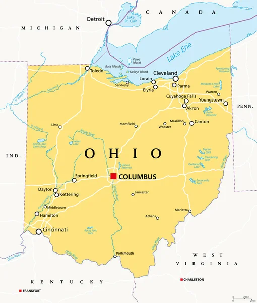
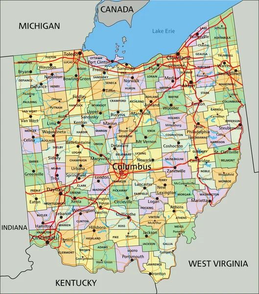
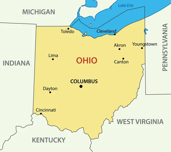
Stock vector Ohio - vector - state of USA
Published: Apr.15, 2020 07:33:25
Author: pavalena
Views: 7
Downloads: 0
File type: vector / eps
File size: 0.2 MB
Orginal size: 5475 x 4867 px
Available sizes:
Level: bronze