Home
Images
Vectors
Videos
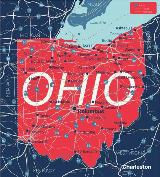
Stock vector Ohio state detailed editable map
Published:
Dec.23, 2020 16:32:15
Author:
olinchuk
Views:
4
Downloads:
3
File type:
vector
/
eps
File size:
0.97 MB
Orginal size:
5000
x
5552
px
Available sizes:
S
(450 x 500)
M
(901 x 1000)
L
(1801 x 2000)
XL
(5000 x 5552)
VECT
(5000 x 5552)
EL0
(5000 x 5552)
Level:
gold
Download Vector
Vector topics:
Blue
Vector
Shape
New
Travel
Abstract
Silhouette
Border
Flag
Road
River
City
Education
American
Us
Usa
Route
Highway
North
Country
West
Map
Cartography
Geography
Lake
State
Topography
Great
America
Boundary
Canada
Interstate
United
Region
Federal
Atlas
Province
Virginia
Indiana
County
Mapping
Columbus
Erie
Michigan
Kentucky
Pennsylvania
Ohio
Cartographic
Cincinnati
Cleveland
Similar stock vectors
Indiana State Detailed Editable Map
5104 × 7265
Ohio Poster. Map Of The Us State With Colorful Regions. Shape Of Ohio With Us State Name. Powerful Vector Illustration.
4964 × 6082
Ohio Poster In Retro Style. Map Of The Us State With Regions In Autumn Color Palette. Shape Of Ohio With Us State Name. Vibrant Vector Illustration.
4864 × 6176
Golden Square Mosaic Map Of Ohio State
5793 × 4316
Vector Abstract Hatched Map Of State Of Ohio With Oblique Lines Isolated On A White Background. Travel Vector Illustration.
5000 × 5000
Ohio, OH, Gray Political Map. State In The East North Central Region Of Midwestern United States. Capital Columbus. The Buckeye State. Birthplace Of Aviation. The Heart Of It All. Illustration. Vector
6000 × 6924