Home
Images
Vectors
Videos
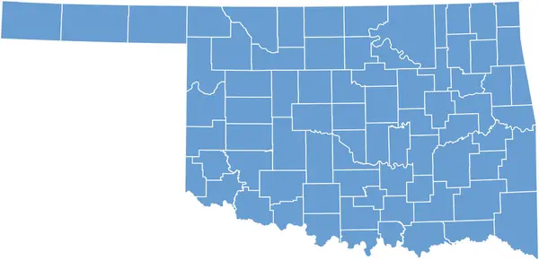
Stock vector Oklahoma, U.S. state, gray political map with borders and county names. State in the South Central region of USA, subdivided into 77 counties. Native America, Land of the Red Man, and Sooner State.
Published:
Aug.15, 2024 09:30:09
Author:
Furian
Views:
0
Downloads:
0
File type:
vector
/
eps
File size:
1.96 MB
Orginal size:
9000
x
4955
px
Available sizes:
S
(500 x 275)
M
(1000 x 551)
L
(2000 x 1101)
XL
(9000 x 4955)
VECT
(9000 x 4955)
EL0
(9000 x 4955)
Level:
silver
Download Vector
Vector topics:
Vector
Illustration
Isolated
Travel
Silhouette
Border
Gray
Structure
Usa
Country
Map
Cartography
Geography
Land
Overview
State
Ok
America
Boundary
Administrative
Destination
States
Region
Division
Federal
Canadian
Atlas
Americas
Subdivision
Wagoner
County
Mapping
Names
Oklahoma
Rogers
Cleveland
Counties
Landlocked
Comanche
Infographic
United States
Red Man
Tulsa
Subdivided
Payne
Political Map
Native America
Sooner State
South Central
Similar stock vectors
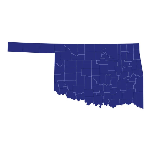
High Quality Map Of Oklahoma Is A State Of United States Of America With Borders Of The Counties
4000 × 4000
A Part Of Usa Map With States On White Background
6631 × 3213
North Dakota, U.S. State Subdivided Into 53 Counties, Gray Political Map With Borders And County Names. State In The Upper Midwest Region Of United States, Nicknamed Peace Garden And Roughrider State.
9000 × 5737
Accurate Map Of Oklahoma
5000 × 4000
Detailed Map Of Oklahoma State,in Vector Format,with County Borders,roads And Major Cities.
7498 × 4036
Oklahoma Counties Map
5000 × 3000
Oklahoma - Highly Detailed Editable Political Map With Labeling.
7004 × 4105