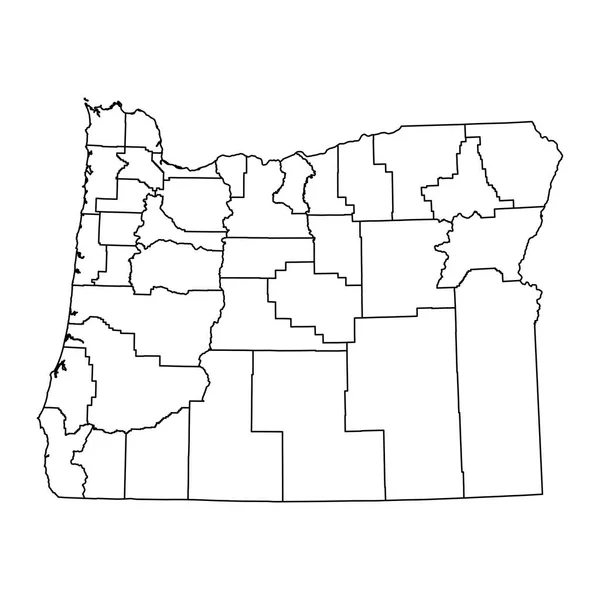
Stock vector Oregon counties, political map with borders and county names. State in the Pacific Northwest region of the United States, subdivided into 36 counties. Nicknamed The Beaver State. Illustration. Vector

Published: Jul.28, 2024 13:11:03
Author: Furian
Views: 0
Downloads: 0
File type: vector / eps
File size: 2.81 MB
Orginal size: 7870 x 6000 px
Available sizes:
Level: silver