photo free
Home Images Vectors Videos

Stock vector outline map of the Canadian province Newfoundland and Labrador with flag

Stock vector outline map of the Canadian province Newfoundland and Labrador with flag
Published: Mar.30, 2020 14:07:10
Author: PantherMediaSeller
Views: 132
Downloads: 1
File type: vector / zip
File size: 0 MB
Orginal size: 6432 x 5488 px
Available sizes:
S
(500 x 427)
M
(1000 x 853)
L
(2000 x 1706)
XL
(6432 x 5488)
VECT
(6432 x 5488)
EL0
(6432 x 5488)
Level: platinum
Download Vector
Vector topics:

Similar stock vectors

stock vector Newfoundland and Labrador blank outline map set

Newfoundland And Labrador Blank Outline Map Set

4167 × 5833
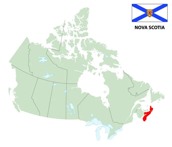
stock vector outline map of the Canadian Nova Scotia province with flag

Outline Map Of The Canadian Nova Scotia Province With Flag

6432 × 5488
stock image 3d Render of Canada Highlighting Newfoundland and Labrador

3d Render Of Canada Highlighting Newfoundland And Labrador

5565 × 4300
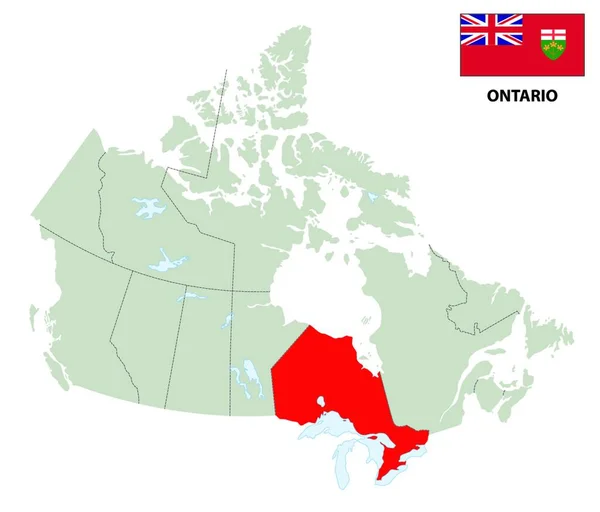
stock vector outline map of the Canadian province Ontario with flag

Outline Map Of The Canadian Province Ontario With Flag

6432 × 5488
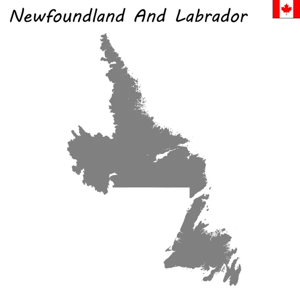
stock vector High quality map of Newfoundland and Labrador

High Quality Map Of Newfoundland And Labrador

4167 × 4167
stock vector Detailed map of Canada

Detailed Map Of Canada

4989 × 4532
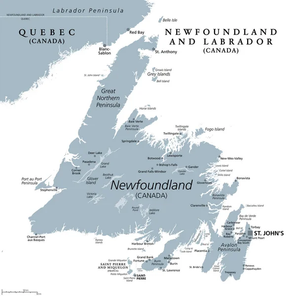
stock vector Island of Newfoundland, gray political map. Part of Canadian province of Newfoundland and Labrador with capital St. Johns. Island off the coast of mainland North America southwest of Labrador Sea.

Island Of Newfoundland, Gray Political Map. Part Of Canadian Province Of Newfoundland And Labrador With Capital St. Johns. Island Off The Coast Of Mainland North America Southwest Of Labrador Sea.

6000 × 6000
stock vector outline map of the Canadian Manitoba province with flag

Outline Map Of The Canadian Manitoba Province With Flag

6432 × 5488