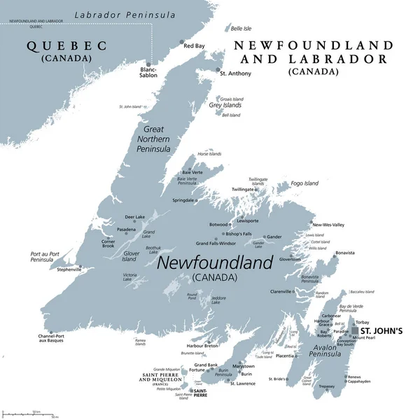
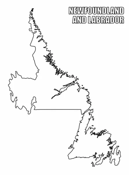
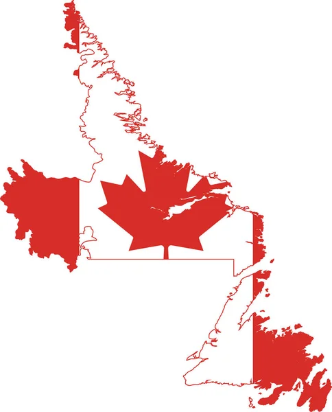
Stock vector Newfoundland and Labrador blank outline map set

Published: Nov.09, 2015 16:17:35
Author: davidzydd
Views: 59
Downloads: 3
File type: vector / eps
File size: 0.43 MB
Orginal size: 4167 x 5833 px
Available sizes:
Level: silver