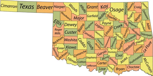
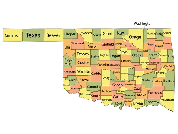
Stock vector Pastel vector administrative map of the Federal State of Oklahoma, USA with black borders and name tags of its counties
Published: Nov.05, 2021 13:45:17
Author: momcilo.jovanov
Views: 0
Downloads: 0
File type: vector / eps
File size: 1.15 MB
Orginal size: 7007 x 3477 px
Available sizes:
Level: bronze
Similar stock vectors

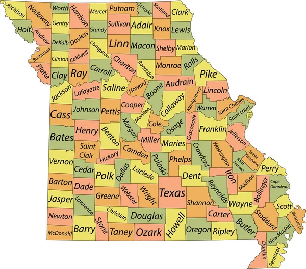
Pastel Vector Map Of The Federal State Of Missouri, USA With Black Borders And Name Tags Of Its Counties
5304 × 4664
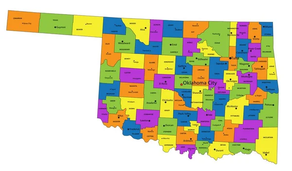
Colorful Oklahoma Political Map With Clearly Labeled, Separated Layers. Vector Illustration.
7004 × 4105