Home
Images
Vectors
Videos
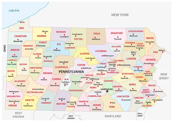
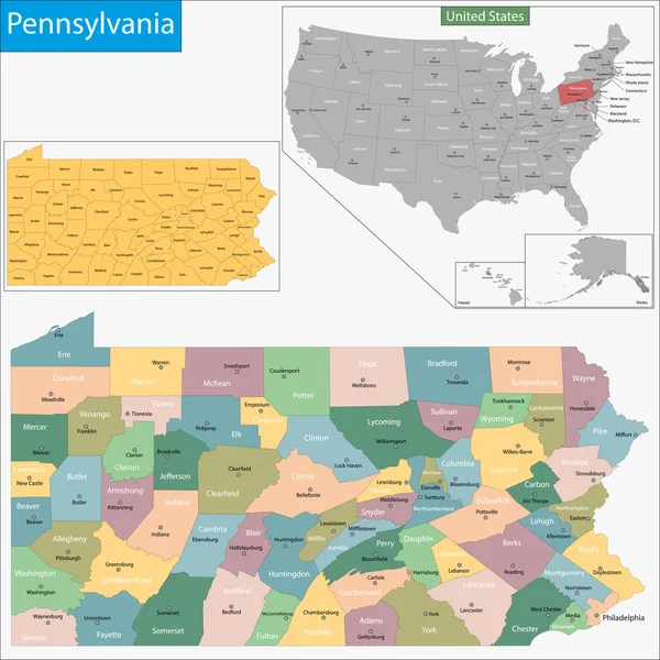
Stock vector Pennsylvania administrative and political vector map
Published:
Feb.19, 2018 16:08:12
Author:
Lesniewski
Views:
108
Downloads:
9
File type:
vector
/
eps
File size:
1.36 MB
Orginal size:
4394
x
3100
px
Available sizes:
S
(500 x 353)
M
(1000 x 706)
L
(2000 x 1411)
XL
(4394 x 3100)
VECT
(4394 x 3100)
EL0
(4394 x 3100)
Level:
bronze
Download Vector
Vector topics:
Vector
Graphic
New
Travel
Border
Road
River
Contour
Usa
North
Outline
West
Map
Cartography
Geography
Lake
State
Pittsburgh
Great
America
Political
Administrative
Interstate
United
States
Region
York
Lakes
Maryland
Virginia
County
Delaware
Mapping
Erie
Pennsylvania
Philadelphia
Ohio
Counties
Harrisburg
Similar stock vectors
Colorful County Map With Counties Names Of The US Federal State Of Pennsylvania
4800 × 3600
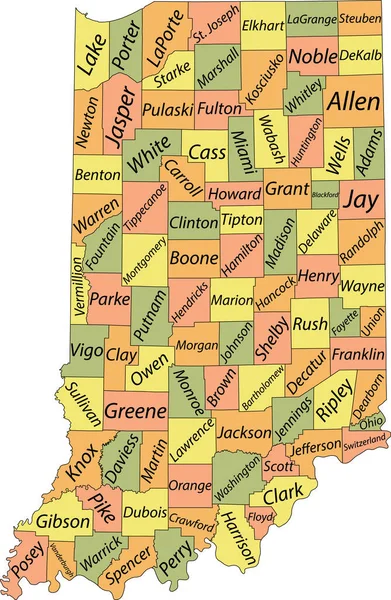
Colorful Indiana Political Map With Clearly Labeled, Separated Layers. Vector Illustration.
3392 × 4765
Pennsylvania Map
7002 × 7002
White Outline Counties Map With Counties Names Of US State Of Pennsylvania
4800 × 3600
Pennsylvania Road Vector Map
4523 × 3100
Pastel Vector Map Of The Federal State Of Indiana, USA With Black Borders And Names Of Its Counties
3986 × 6105
Colorful West Virginia Political Map With Clearly Labeled, Separated Layers. Vector Illustration.
3376 × 3358
Colorful Pennsylvania Political Map With Clearly Labeled, Separated Layers. Vector Illustration.
4223 × 2891