Home
Images
Vectors
Videos
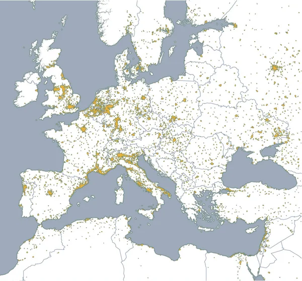
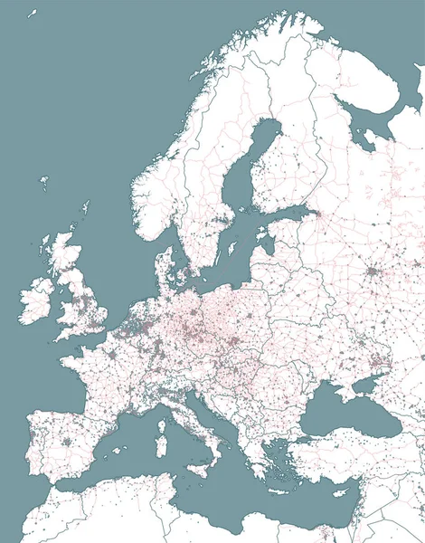
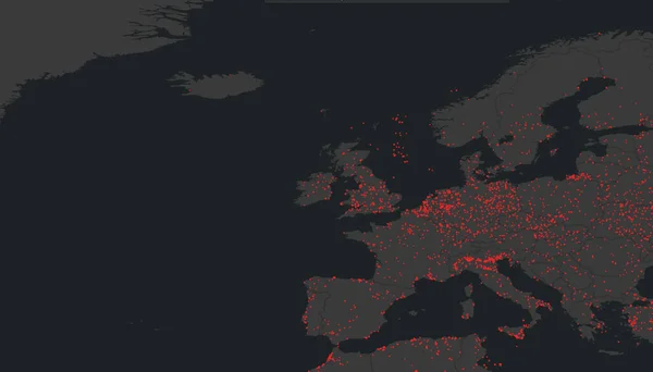
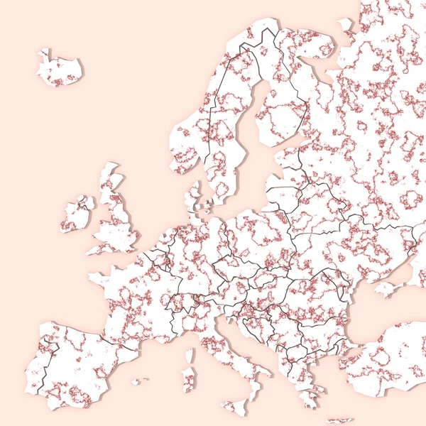
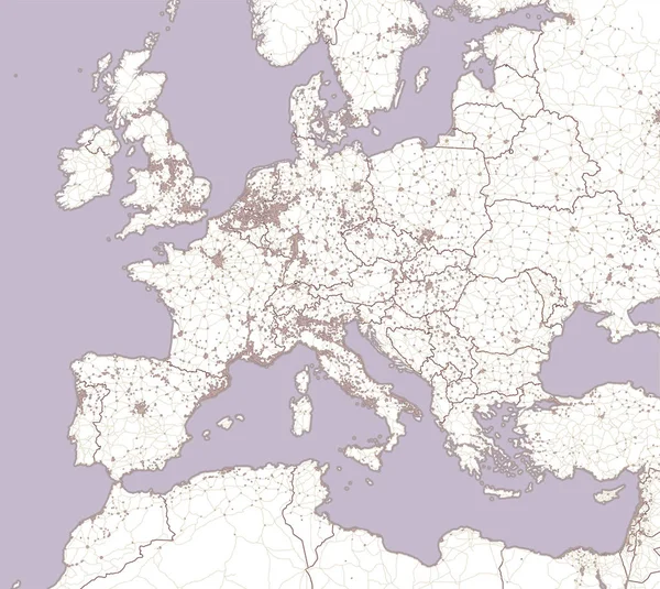
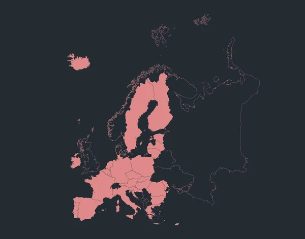
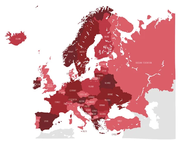
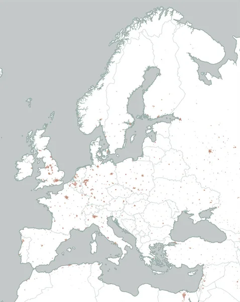
Stock vector Political map of Europe and Africa. European cities. Political map with the border of the states. Urban areas
Published:
Feb.28, 2018 14:50:01
Author:
vampy1
Views:
116
Downloads:
0
File type:
vector
/
eps
File size:
10.82 MB
Orginal size:
3334
x
4184
px
Available sizes:
S
(398 x 500)
M
(797 x 1000)
L
(1594 x 2000)
XL
(3334 x 4184)
VECT
(3334 x 4184)
EL0
(3334 x 4184)
Level:
silver
Download Vector
Vector topics:
Design
Sea
Style
City
Italy
France
Holland
Ukraine
Sweden
Europe
Russia
Map
Africa
Algeria
Egypt
Germany
Mediterranean
Spain
Turkey
Cyprus
Greece
Countries
Borders
Estonia
Denmark
States
Israel
Finland
Islands
Iraq
England
Latvia
Norway
Tunisia
Divisions
Lithuania
Syria
Lebanon
Libya
Luxembourg
Urban Areas
Vector Design
Political Map
Border States
Similar stock vectors
Political Map Of Europe And Africa. European Cities. Political Map With The Border Of The States. Urban Areas
4445 × 4145
Railway And Political Map Of Europe And North Africa. European Cities. Political Map With The Border Of The States. Urban Areas. Railway Line.
4445 × 5667
Dresden, Germany June 9, 2023 Map On Windy Weather Web Service Showing A Powerful Tropical Storm Called Guchol Approaching Japan From Philippines With Strong Wind And Heavy Rain.
9273 × 5295
Europe Map 3D With Texture
5000 × 5000
Street And Political Map Of Europe And North Africa. European Cities. Political Map With The Border Of The States. Urban Areas. Street Directory, Atlas.
4445 × 3967
Europe Map 3D Com Ceramics Materials
5000 × 5000
Infographics Europe Union Map Outline, Flat Design, Blank
5092 × 4000
Hand Drawn Vector Map Of Europe In Red Shades. Doodle Style
9865 × 7899