photo free
Home Images Vectors Videos

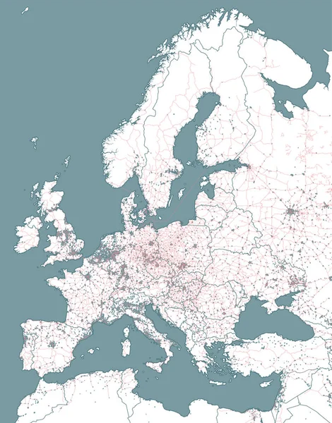
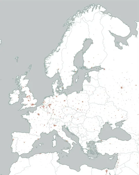
Stock vector Street and political map of Europe and North Africa. European cities. Political map with the border of the states. Urban areas. Street directory, atlas.
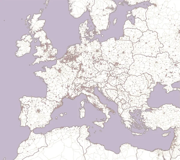
Stock vector Street and political map of Europe and North Africa. European cities. Political map with the border of the states. Urban areas. Street directory, atlas.
Published: Feb.28, 2018 14:50:01
Author: vampy1
Views: 76
Downloads: 0
File type: vector / eps
File size: 12.82 MB
Orginal size: 4445 x 3967 px
Available sizes:
S
(500 x 446)
M
(1000 x 892)
L
(2000 x 1785)
XL
(4445 x 3967)
VECT
(4445 x 3967)
EL0
(4445 x 3967)
Level: silver
Download Vector
Vector topics:

Similar stock vectors

stock image Europe Map 3D with texture

Europe Map 3D With Texture

5000 × 5000
stock image Europe 3D texture map

Europe 3D Texture Map

6000 × 4000
stock image Europe 3D texture map

Europe 3D Texture Map

5000 × 5000
stock vector Political map of Europe in white background. Vector illustration

Political Map Of Europe In White Background. Vector Illustration

10735 × 7500
stock vector Railway and political map of Europe and North Africa. European cities. Political map with the border of the states. Urban areas. Railway line.

Railway And Political Map Of Europe And North Africa. European Cities. Political Map With The Border Of The States. Urban Areas. Railway Line.

4445 × 5667
stock vector Political map of Europe and Africa. European cities. Political map with the border of the states. Urban areas

Political Map Of Europe And Africa. European Cities. Political Map With The Border Of The States. Urban Areas

3334 × 4184
stock image Europe 3D texture map

Europe 3D Texture Map

6000 × 4000
stock vector Old vector map of Europe

Old Vector Map Of Europe

4500 × 4500