Home
Images
Vectors
Videos
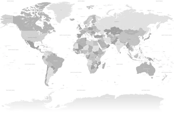
Stock vector Political map of World with country names and capital cities. Grey vector map
Published:
Nov.14, 2017 12:17:32
Author:
pyty
Views:
449
Downloads:
3
File type:
vector
/
eps
File size:
5.76 MB
Orginal size:
6000
x
4500
px
Available sizes:
S
(500 x 375)
M
(1000 x 750)
L
(2000 x 1500)
XL
(6000 x 4500)
VECT
(6000 x 4500)
EL0
(6000 x 4500)
Level:
silver
Download Vector
Vector topics:
Vector
Backgrounds
Graphic
Illustration
Design
Isolated
Business
Labeling
Label
Travel
Silhouette
Square
Modern
Gray
Dot
City
Global
Contour
Grey
Earth
World
Ocean
Science
North
Europe
Globe
East
South
Name
Country
Map
Cartography
Geography
Africa
Continent
Land
Worldwide
Asia
State
America
International
Australia
Politic
Political
Oceania
Atlas
Capitals
World Map
Capital City
Political Map
Similar stock vectors
North Atlantic Treaty Organization, NATO, Member Countries Highlighted By Blue In World Political Map. 29 Member States Since June 2017
8000 × 6000
Group Of Seven Countries, G7, Highlighted In The World Map. Vector Illustration
8000 × 6000
North Atlantic Treaty Organization, NATO, Member Countries Highlighted By Orange In World Political Map. 29 Member States Since June 2017
8000 × 6000
High Detail Grey World Map
8000 × 5220
North Atlantic Treaty Organization, NATO, Member Countries Highlighted By Green In World Political Map. 29 Member States Since June 2017
8000 × 6000
Political Map Of World With In Grey. EPS10 Vector Illustration
8000 × 6000
Political Map Of World With In Blue. EPS10 Vector Illustration
8000 × 6000
Simplified Smooth Border World Map
8000 × 6000