Home
Images
Vectors
Videos
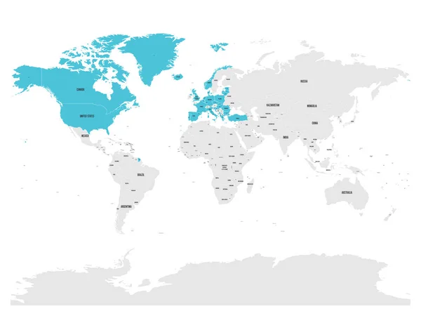
Stock vector Political map of world with in blue. EPS10 vector illustration
Published:
Jun.19, 2017 12:57:34
Author:
pyty
Views:
77
Downloads:
2
File type:
vector
/
eps
File size:
6 MB
Orginal size:
8000
x
6000
px
Available sizes:
S
(500 x 375)
M
(1000 x 750)
L
(2000 x 1500)
XL
(8000 x 6000)
VECT
(8000 x 6000)
EL0
(8000 x 6000)
Level:
silver
Download Vector
Vector topics:
Blue
Vector
Background
Isolated
Business
Label
Detail
Sea
Border
Global
Flat
Wallpaper
Education
Web
World
Ocean
Detailed
Europe
Marketing
Name
Website
Country
Map
Cartography
Geography
Africa
Continent
Worldwide
Asia
Continental
State
America
Australia
Political
Territory
Antarctica
Geographical
Worldly
Dependent
World Map
North America
South America
Map World
Map Of World
Political Map
Vector Map
Similar stock vectors
Map Of United Nation With Blue Highlighted Member States. UN Is An Intergovernmental Organization Of International Co-operation. EPS10 Vector Illustration
8000 × 6000
North Atlantic Treaty Organization, NATO, Member Countries Highlighted By Orange In World Political Map. 29 Member States Since June 2017
8000 × 6000
North Atlantic Treaty Organization, NATO, Member Countries Highlighted By Green In World Political Map. 29 Member States Since June 2017
8000 × 6000
Political Map Of World With Country Names And Capital Cities. Grey Vector Map
6000 × 4500
Political Vector World Map With State Name Labels. Blue Land With Gray Text On White Background. Hand Drawn Simplified Illustration
8000 × 6000
North Atlantic Treaty Organization, NATO, Member Countries Highlighted By Blue In World Political Map. 29 Member States Since June 2017
8000 × 6000
Political Map Of World With Antarctica. Continents In Different Colors On White Background. Black Labels With States And Significant Dependent Territories Names. High Detail Vector Illustration
6000 × 4500
Group Of Seven Countries, G7, Highlighted In The World Map. Vector Illustration
8000 × 6000