Home
Images
Vectors
Videos
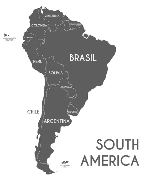
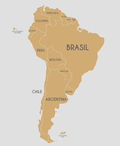
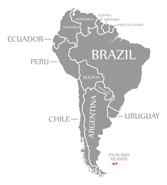
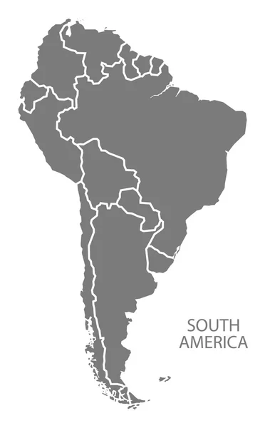
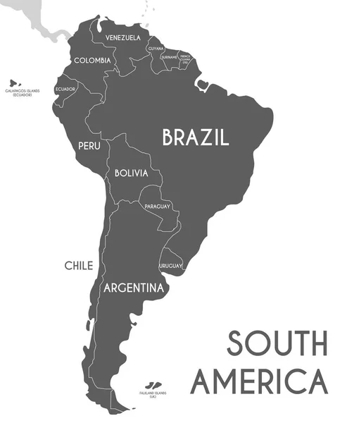
Stock vector Political South America Map vector illustration isolated on whit
Published:
May.17, 2017 07:31:56
Author:
asantosg
Views:
78
Downloads:
0
File type:
vector
/
eps
File size:
5.76 MB
Orginal size:
2800
x
3400
px
Available sizes:
S
(412 x 500)
M
(824 x 1000)
L
(1647 x 2000)
XL
(2800 x 3400)
VECT
(2800 x 3400)
EL0
(2800 x 3400)
Level:
bronze
Download Vector
Vector topics:
White
Vector
Background
Graphic
Illustration
Design
Isolated
Art
Travel
Black
Modern
Icon
Global
Flat
Physical
Grey
Information
Education
Clip
Earth
Planet
World
Country
Map
Cartography
Geography
Continent
Land
Topography
America
Borders
Political
Info
Atlas
Mockup
Infographics
South America
Latin America
South America Map
South America Map Vector
South America Map Shape
South America Map Flat
Similar stock vectors
Political South America Map Vector Illustration Isolated On White Background With Country Names In Spanish. Editable And Clearly Labeled Layers.
4000 × 4857
Political South America Map Vector Illustration With Country Names In Spanish. Editable And Clearly Labeled Layers.
4000 × 4857
Brazil - Vector Illustration
4643 × 5000
States Of Brazil, Political Map. Federative Units With Borders And Capitals. Subnational Entities With A Certain Degree Of Autonomy. They Form The Federative Republic Of Brazil, With Capital Brasilia.
6000 × 6761
Falkland Islands Red Highlighted In Continent Map Of South America
6135 × 6762
South America With Countries Map Grey
5000 × 8058
South America Map Grey
5000 × 8058
Highly Detailed Map Of The Continent Of South America. Colored Silhouette With Borders And Country Names. Brazil And Argentina And Colombia And Peru And Chile And Ecuador. Vector Graphics.
5556 × 6172