
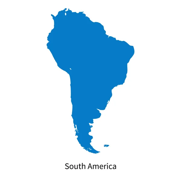
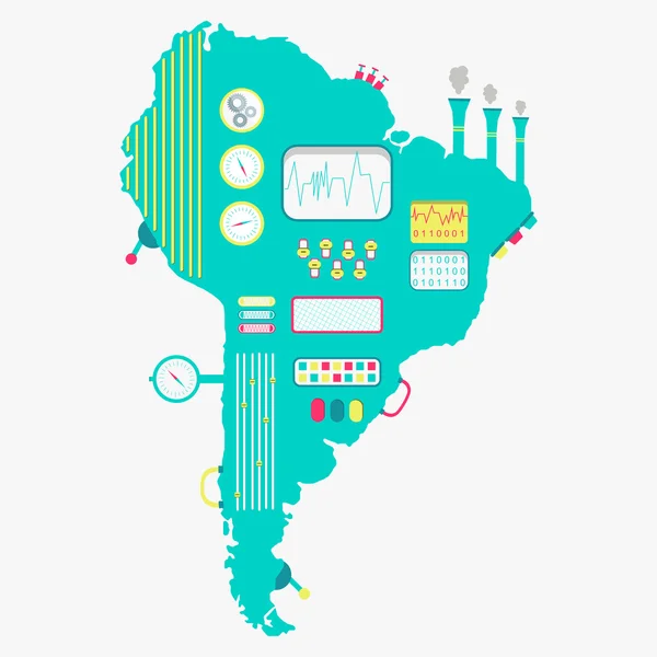
Stock image South America Map Flat


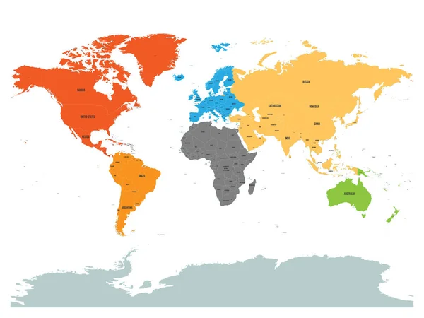
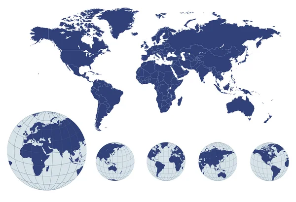
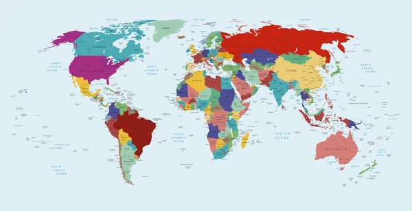
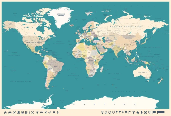
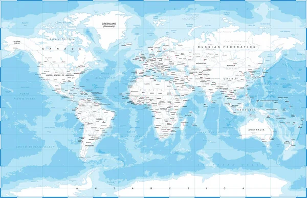
Political Map Of World With Antarctica. Continents In Different Colors On White Background. Black Labels With States And Significant Dependent Territories Names. High Detail Vector Illustration
Vector, 7.65MB, 6000 × 4500 eps

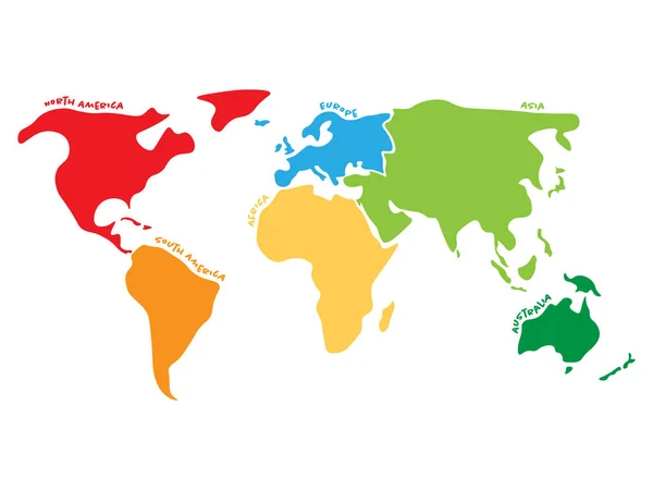
Multicolored World Map Divided To Six Continents In Different Colors - North America, South America, Africa, Europe, Asia And Australia. Simplified Silhouette Vector Map With Continent Name Labels
Vector, 0.43MB, 6000 × 4500 eps
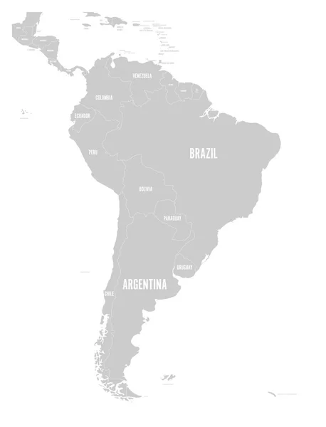
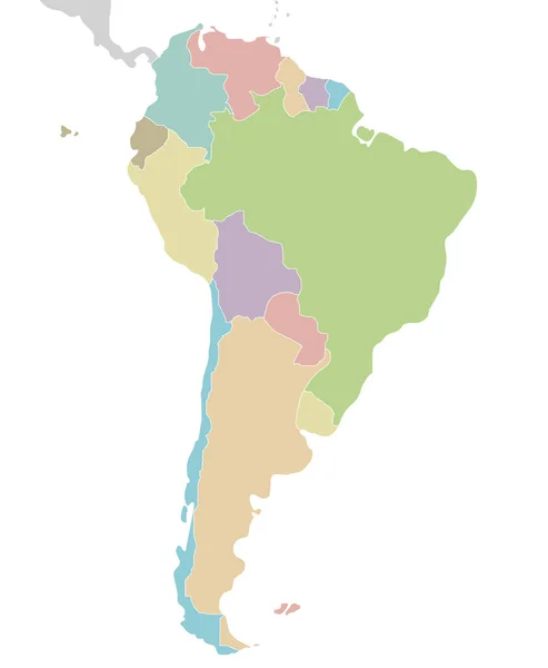
Political Map Of South America. Simple Flat Vector Map With Country Name Labels In Grey
Vector, 1.52MB, 6000 × 7852 eps

Political Blank South America Map Vector Illustration Isolated On White Background. Editable And Clearly Labeled Layers.
Vector, 5.63MB, 4000 × 4857 eps


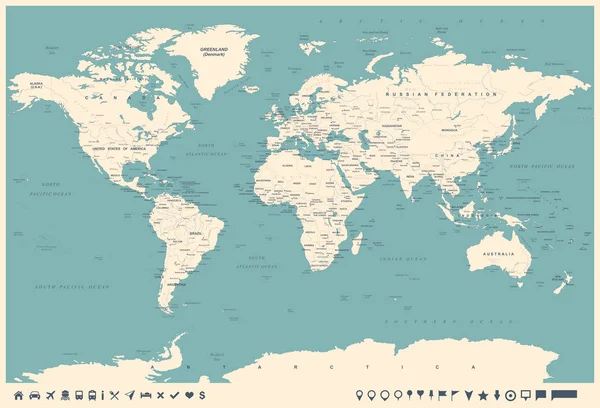
America Map, Infographics Flat Design Colors Snow White, Individual States Blank
Image, 1MB, 4743 × 4000 jpg

Physical Map Of South America, With High Resolution Details. Flattened Satellite View Of Planet Earth, Its Geography And Topography. 3D Illustration - Elements Of This Image Furnished By NASA
Image, 15.12MB, 7200 × 8100 jpg


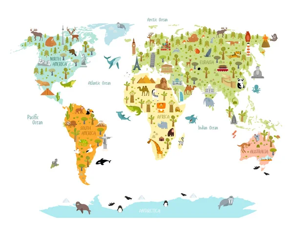
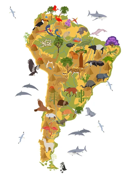
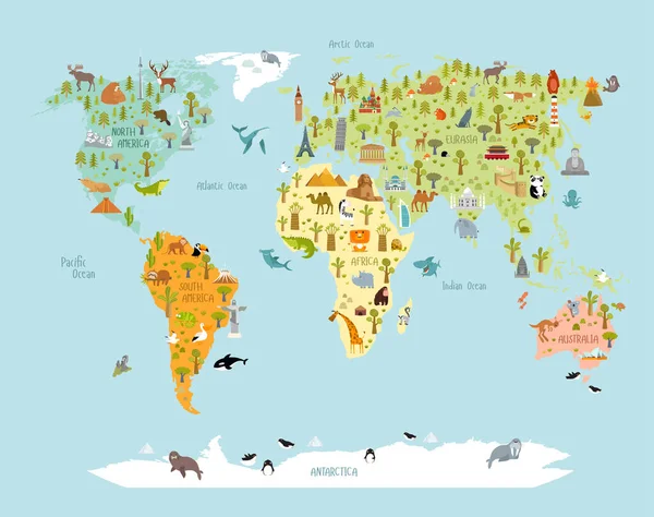
Print. World Map With Animals And Architectural Landmarks For Kids. Eurasia, Africa, South America, North America, Australia. Cartoon Animals.
Vector, 9.63MB, 7071 × 5596 eps
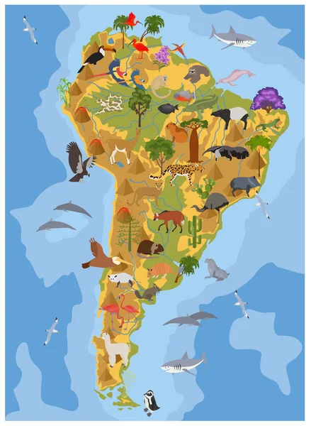
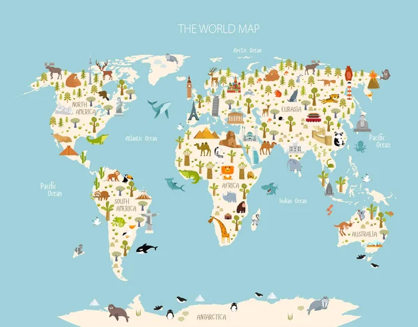
Print. World Map With Animals And Architectural Landmarks For Kids. Eurasia, Africa, South America, North America, Australia. Cartoon Animals.
Vector, 9.65MB, 6439 × 5096 eps
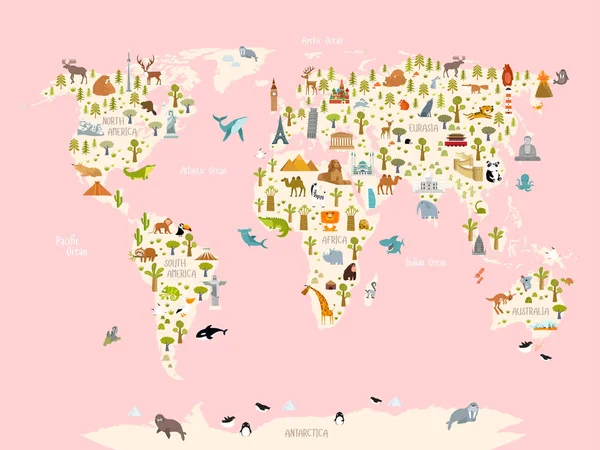
Print. World Map With Animals And Architectural Landmarks For Kids. Eurasia, Africa, South America, North America, Australia. Cartoon Animals.
Vector, 9.76MB, 6544 × 5133 eps
Print. World Map With Animals And Architectural Landmarks For Kids. Eurasia, Africa, South America, North America, Australia. Cartoon Animals.
Vector, 9.73MB, 7313 × 5488 eps


Page 1 >> Next