Home
Images
Vectors
Videos
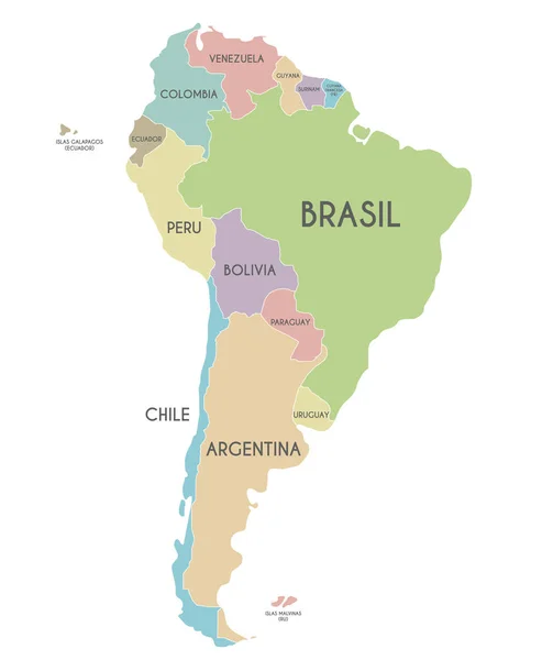
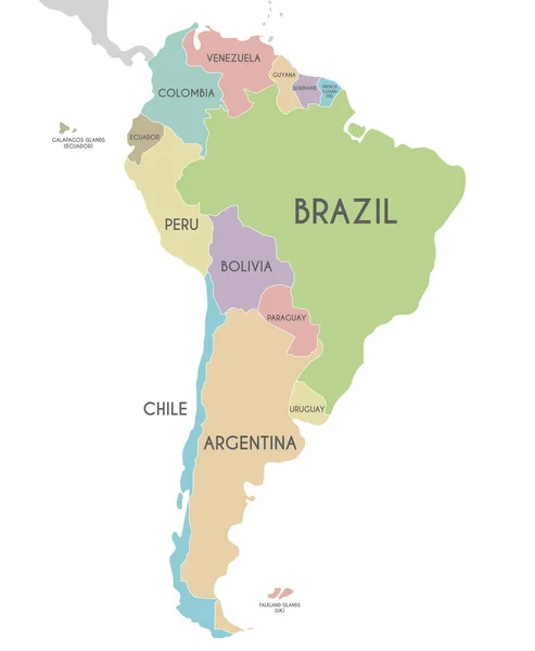
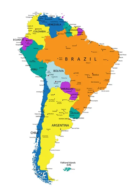
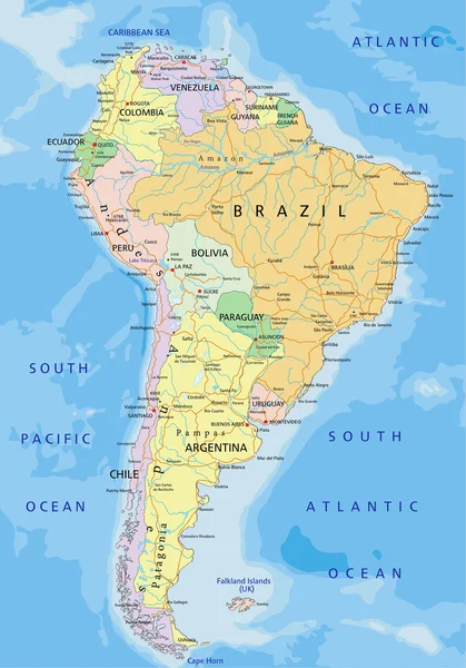
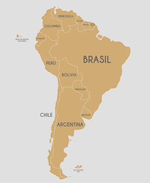
Stock vector Political South America Map vector illustration with country names in spanish. Editable and clearly labeled layers.
Published:
Jun.06, 2018 10:04:29
Author:
asantosg
Views:
105
Downloads:
0
File type:
vector
/
eps
File size:
6.37 MB
Orginal size:
4000
x
4857
px
Available sizes:
S
(412 x 500)
M
(824 x 1000)
L
(1647 x 2000)
XL
(4000 x 4857)
VECT
(4000 x 4857)
EL0
(4000 x 4857)
Level:
bronze
Download Vector
Vector topics:
Color
White
Vector
Background
Colorful
Graphic
Illustration
Design
Art
Travel
Golden
Modern
Icon
Global
Flat
Physical
Information
Education
Clip
Earth
Planet
World
Country
Map
Cartography
Geography
Continent
Land
Topography
America
Borders
Political
Info
Spanish
Atlas
Mockup
Infographics
South America
Latin America
South America Map
South America Map Vector
South America Map Shape
South America Map Flat
Similar stock vectors
Political South America Map Vector Illustration Isolated On White Background With Country Names In Spanish. Editable And Clearly Labeled Layers.
4000 × 4857
Political South America Map Vector Illustration Isolated On Whit
2800 × 3400
Political South America Map Vector Illustration Isolated On White Background With Country Names In Spanish. Editable And Clearly Labeled Layers.
4000 × 4857
Falkland Islands Red Highlighted In Continent Map Of South America
6135 × 6762
Political South America Map Vector Illustration Isolated On White Background. Editable And Clearly Labeled Layers.
2800 × 3400
Venezuela Red Highlighted In Continent Map Of South America
6135 × 6762
Colorful South America Political Map
3969 × 5670
South America Political Map
3970 × 5671