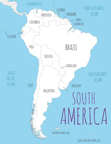
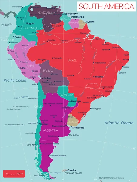
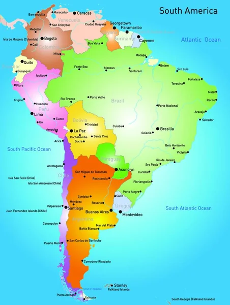
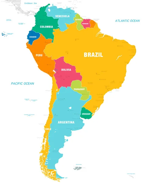
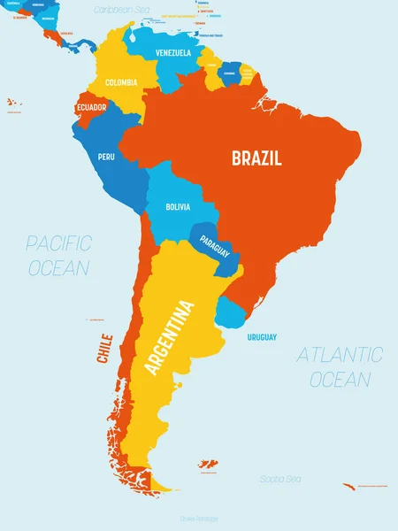
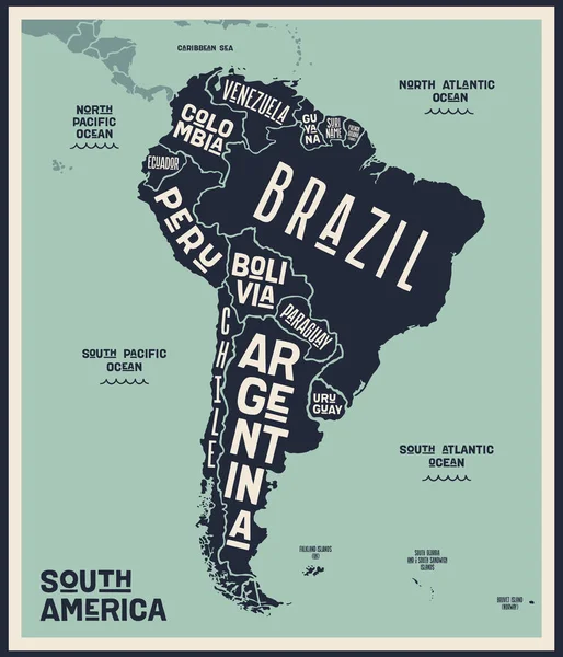
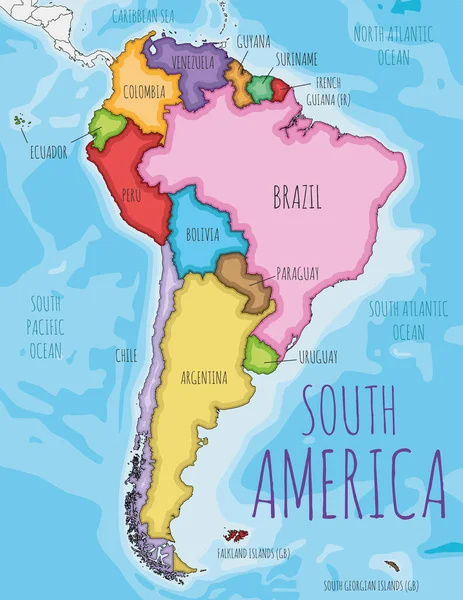
Stock vector Political South America Map vector illustration with different colors for each country. Editable and clearly labeled layers.
Published: Feb.14, 2022 09:12:19
Author: asantosg
Views: 24
Downloads: 0
File type: vector / eps
File size: 7.89 MB
Orginal size: 4000 x 5179 px
Available sizes:
Level: bronze