Home
Images
Vectors
Videos
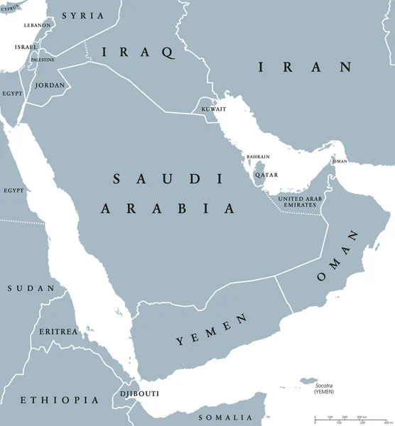
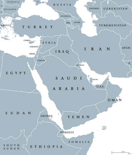
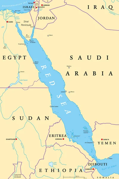
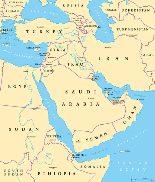
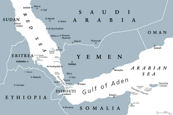
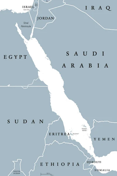
Stock vector Red Sea political map
Published:
Jul.31, 2017 07:47:00
Author:
Furian
Views:
142
Downloads:
0
File type:
vector
/
eps
File size:
2.21 MB
Orginal size:
6444
x
9666
px
Available sizes:
S
(333 x 500)
M
(667 x 1000)
L
(1333 x 2000)
XL
(6444 x 9666)
VECT
(6444 x 9666)
EL0
(6444 x 9666)
Level:
silver
Download Vector
Vector topics:
Red
Vector
Illustration
Labeling
Travel
Transport
Sea
Border
Gray
Country
Map
Cartography
Geography
Africa
Egypt
Mediterranean
Boundary
Gulf
Israel
Region
English
Jordan
Atlas
Arabia
Peninsula
Yemen
Sinai
Aqaba
Saudi
Djibouti
Eritrea
Sudan
Suez
White Background
Red Sea
Saudi Arabia
Sinai Peninsula
Horn Of Africa
Political Map
English Labeling
Erythrean Sea
Erythrean
Similar stock vectors
Arabian Peninsula Countries Political Map
7725 × 8333
Middle East Political Map
7393 × 8666
Arabian Peninsula Political Map
9311 × 7224
Red Sea Region Political Map
6518 × 9777
Middle East Political Map
7392 × 8666
Map Of The Red Sea With Its Neighboring Countries.
3100 × 4514
Gulf Of Aden Area, Gray Political Map. Deepwater Gulf Between Yemen, Djibouti, The Guardafui Channel, Socotra And Somalia, Connecting The Arabian Sea Through The Bab-el-Mandeb Strait With The Red Sea.
9000 × 6000
Middle East Map - Vintage Vector Illustration
5500 × 6416