photo free
Home Images Vectors Videos

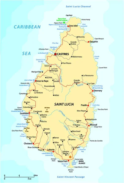
Stock vector Saint Lucia Political Map

Stock vector Saint Lucia Political Map
Published: Jun.15, 2015 04:31:24
Author: Furian
Views: 302
Downloads: 19
File type: vector / eps
File size: 0.86 MB
Orginal size: 6000 x 8835 px
Available sizes:
S
(340 x 500)
M
(679 x 1000)
L
(1358 x 2000)
XL
(6000 x 8835)
VECT
(6000 x 8835)
EL0
(6000 x 8835)
Level: silver
Download Vector
Vector topics:

Similar stock vectors

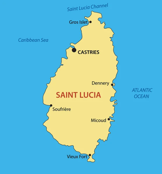
stock vector Saint Lucia - vector map

Saint Lucia - Vector Map

3290 × 3550
stock vector Highly detailed vector map of the caribbean island of Saint Lucia with main cities,regions and roads.

Highly Detailed Vector Map Of The Caribbean Island Of Saint Lucia With Main Cities,regions And Roads.

4146 × 5000
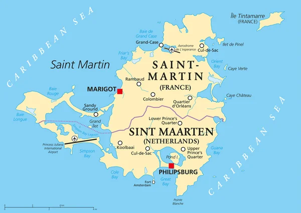
stock vector Saint Martin Island Political Map

Saint Martin Island Political Map

8445 × 6000
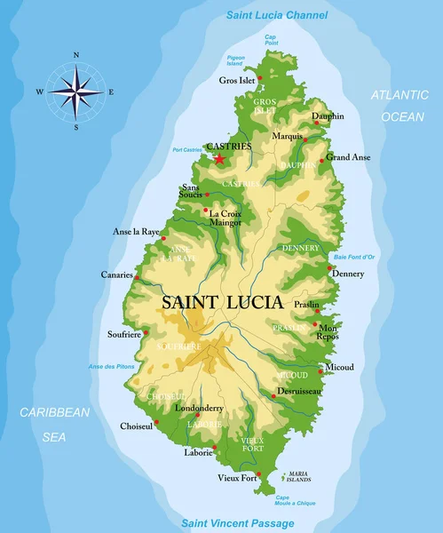
stock vector Saint Lucia island highly detailed physical map

Saint Lucia Island Highly Detailed Physical Map

6249 × 7500
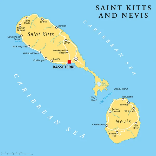
stock vector Saint Kitts and Nevis Political Map

Saint Kitts And Nevis Political Map

6000 × 6000
stock vector Road vector map of the West Indian island state of Saint Lucia

Road Vector Map Of The West Indian Island State Of Saint Lucia

3100 × 4575
stock vector Road vector map of the West Indian island state of Saint Lucia

Road Vector Map Of The West Indian Island State Of Saint Lucia

3710 × 4000