Home
Images
Vectors
Videos
Stock vector Saint Paul Minnesota city map USA labelled black illustration
Published:
Aug.02, 2018 09:43:26
Author:
ingomenhard
Views:
4
Downloads:
0
File type:
vector
/
eps
File size:
7.04 MB
Orginal size:
6784
x
5000
px
Available sizes:
S
(500 x 369)
M
(1000 x 737)
L
(2000 x 1474)
XL
(6784 x 5000)
VECT
(6784 x 5000)
EL0
(6784 x 5000)
Level:
bronze
Download Vector
Vector topics:
Vector
Graphic
Illustration
Design
Isolated
Shape
New
Black
Silhouette
Border
Modern
City
Flat
Simple
Usa
Country
Map
Area
Trip
State
Countries
Borders
Administrative
Department
Region
Division
Territory
Caption
Flats
Neighborhood
Labels
Minnesota
County
Divisions
Borough
Regional
Districts
Provinces
Labelled
Counties
Departments
United States
United States Of America
St Paul
Saint Paul
Similar stock vectors
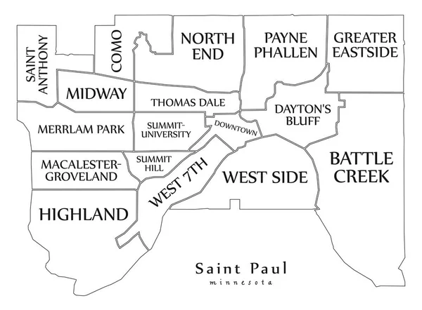
Modern City Map - Saint Paul Minnesota City Of The USA With Neighborhoods And Titles Outline Map
6773 × 5000
Toledo Ohio City Map USA Labelled Black Illustration
5959 × 5000
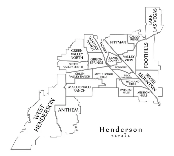
Modern City Map - Henderson Nevada City Of The USA With Neighborhoods And Titles Outline Map
5567 × 5000
Baltimore Maryland City Map USA Labelled Black Illustration
5000 × 5867
White Vector Administrative Map Of The Federal State Of Ohio, USA With Black Borders And Name Tags Of Its Counties
4699 × 5107
Colorful South Dakota Political Map With Clearly Labeled, Separated Layers. Vector Illustration.
4518 × 3419
Colorado Springs CO City Map USA Labelled Black Illustration
5000 × 7388
White Outline Counties Map With Counties Names Of US State Of South Dakota
4800 × 3600