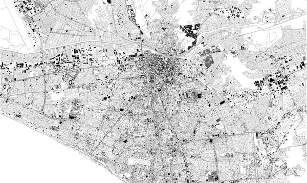
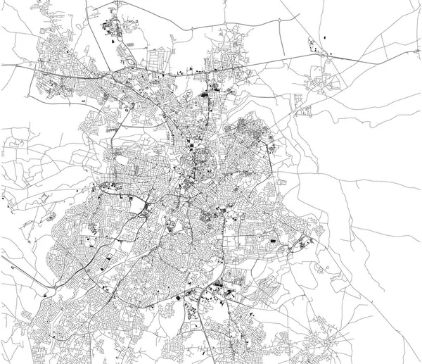
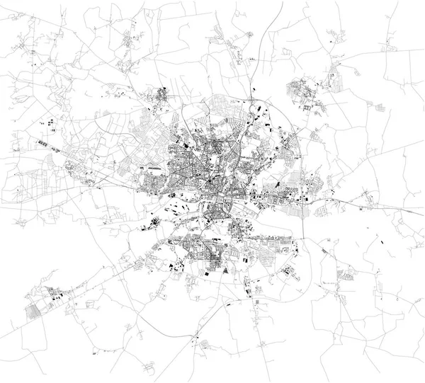
Stock vector Satellite map of Bucharest, it is the capital city of Romania. Map of streets and buildings of the town center. Europe

Published: Jun.03, 2019 05:56:36
Author: vampy1
Views: 4
Downloads: 0
File type: vector / eps
File size: 39.09 MB
Orginal size: 3887 x 3380 px
Available sizes:
Level: silver