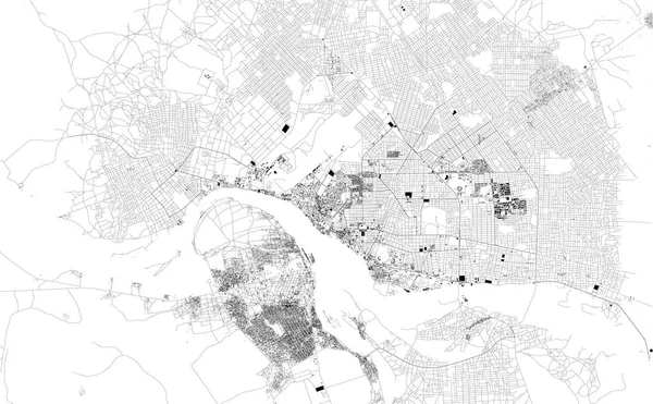
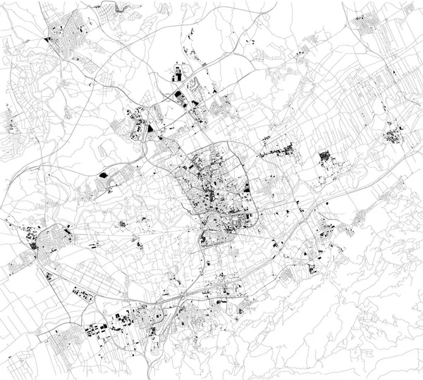
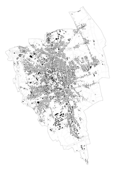
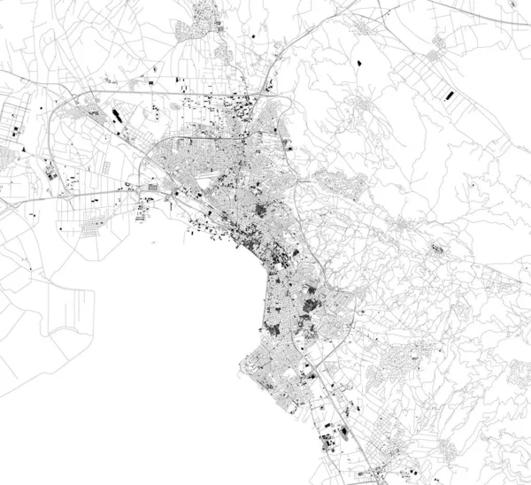
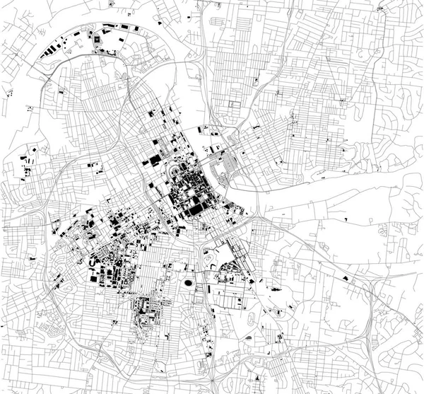
Stock vector Satellite map of Nashville, Tennessee, Usa, city streets. Street map and map of the city center.
Published: Nov.09, 2018 14:12:37
Author: vampy1
Views: 50
Downloads: 1
File type: vector / eps
File size: 3.08 MB
Orginal size: 6454 x 5992 px
Available sizes:
Level: silver