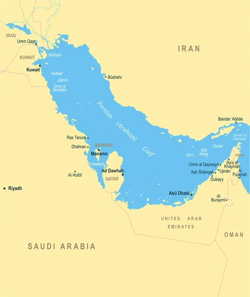
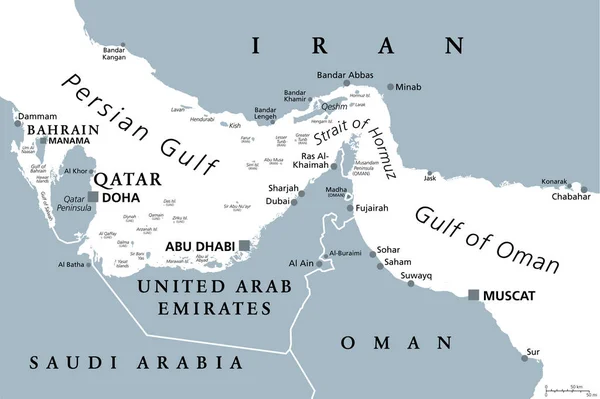
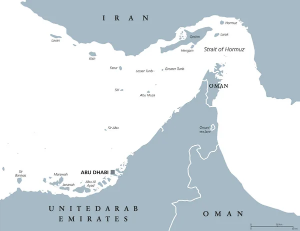
Stock vector Strait of Hormuz region political map
Published: Aug.14, 2017 11:20:56
Author: Furian
Views: 313
Downloads: 3
File type: vector / eps
File size: 2.09 MB
Orginal size: 9033 x 6978 px
Available sizes:
Level: silver