Home
Images
Vectors
Videos
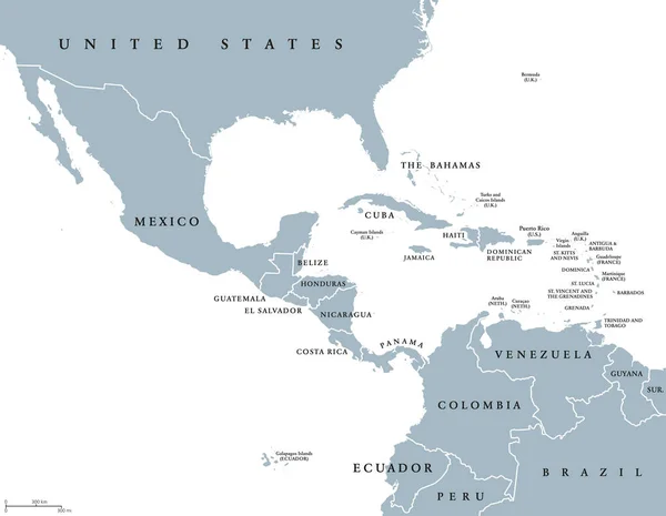
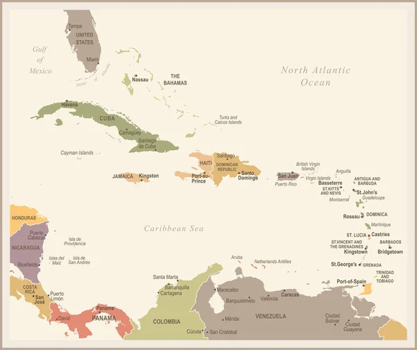
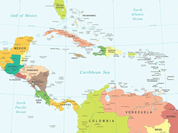
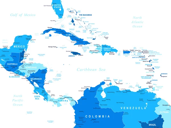
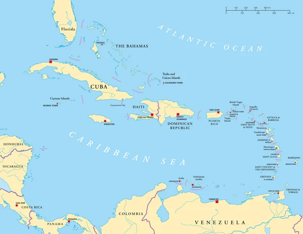
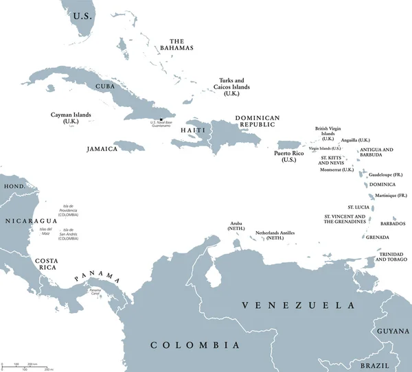
Stock vector The Caribbean countries political map
Published:
Sep.28, 2016 18:46:23
Author:
Furian
Views:
723
Downloads:
8
File type:
vector
/
eps
File size:
1.15 MB
Orginal size:
8473
x
7660
px
Available sizes:
S
(500 x 452)
M
(1000 x 904)
L
(2000 x 1808)
XL
(8473 x 7660)
VECT
(8473 x 7660)
EL0
(8473 x 7660)
Level:
silver
Download Vector
Vector topics:
Sea
South
Cruise
Country
West
Map
Cartography
Geography
Land
State
America
Destination
Islands
Caribbean
Central
Panama
Atlas
Windward
Nation
Jamaica
Greater
Cuba
Indies
Lesser
Venezuela
Bahamas
Leeward
Colombia
Haiti
Antilles
Caribbean Sea
South America
Central America
Greater Antilles
West Indies
Lesser Antilles
Similar stock vectors
Middle America Political Map
8999 × 6982
The Caribbean Map - Vector Illustration
6598 × 5500
Central America - Map And Navigation Labels - Illustration.
7400 × 5928
Central America Map - White Lands And Grey Water. High Detailed Political Map Central American And Caribbean Region With Country, Capital, Ocean And Sea Names Labeling
6000 × 4500
The Caribbean Map - Vintage Vector Illustration
6537 × 5500
Central America - Map - Illustration.
7400 × 5549
Central America - Map - Illustration.
7400 × 5548
Caribbean - Large And Lesser Antilles - Political Map
9287 × 7191