Home
Images
Vectors
Videos
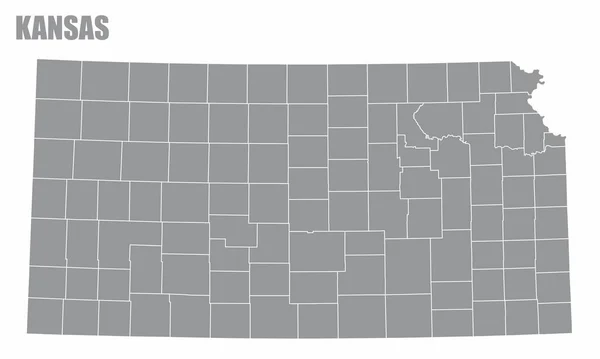
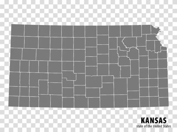
Stock vector The Kansas State County Map with labels
Published:
Jun.03, 2020 10:14:41
Author:
luisrftc
Views:
1
Downloads:
1
File type:
vector
/
eps
File size:
9.73 MB
Orginal size:
5000
x
3000
px
Available sizes:
S
(500 x 300)
M
(1000 x 600)
L
(2000 x 1200)
XL
(5000 x 3000)
VECT
(5000 x 3000)
EL0
(5000 x 3000)
Level:
bronze
Download Vector
Vector topics:
White
Vector
Background
Illustration
Design
Isolated
Travel
Transport
Cloud
Line
Silhouette
Gray
Symbol
Us
Usa
Tourism
North
Map
Cartography
Geography
State
Franklin
Clay
Location
America
United
States
Coffey
Federal
Jackson
Jefferson
County
Bourbon
Butler
Reno
Linn
Kansas
Allen
Douglas
Harvey
Topographical
Ellis
Atchison
Barton
Crawford
Finney
Dickinson
Cowley
Geary
Similar stock vectors
The Kansas State County Map Isolated On White Background
5000 × 3000
Iowa County Map
5000 × 3700
The Oklahoma State County Map With Labels
5000 × 3000
The Nebraska State County Map With Labels
5000 × 3000
State Kansas Map On Transparent Background. Blank Map Of Kansas With Regions In Gray For Your Web Site Design, Logo, App, UI. USA. EPS10.
6668 × 5000
Dotted Map Of The State Kansas. Vector Illustration.
6000 × 6000
Shape Of Kansas, State Of Mainland United States, With Its Capital Isolated On A Solid Color Background. Composition Of Patterned Textures. 3D Rendering
3836 × 2101
Vector Dotted Map State Of Kansas Isolated On White Background .
5000 × 5000