Home
Images
Vectors
Videos
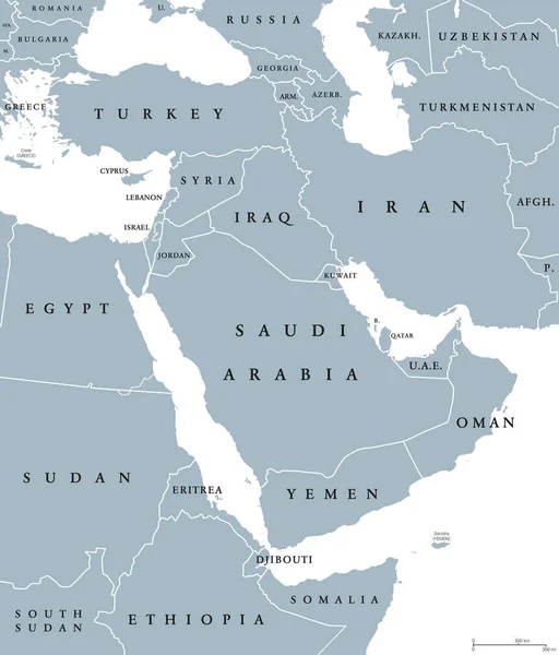
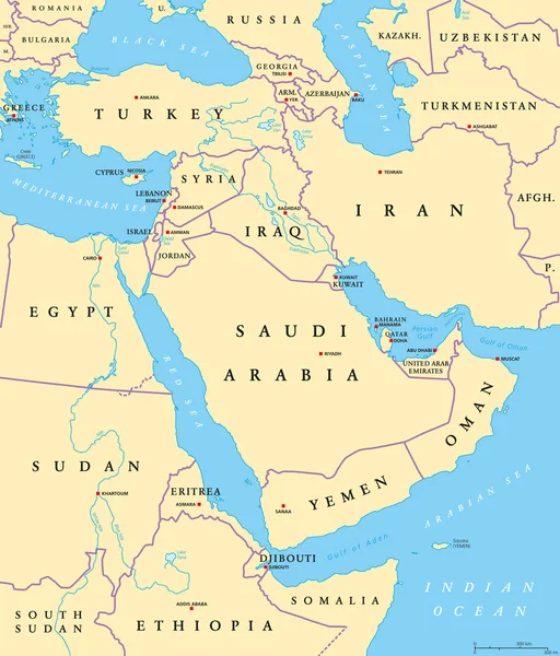
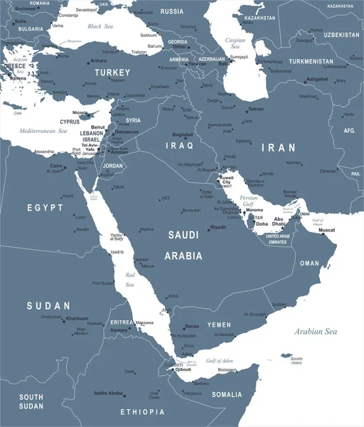
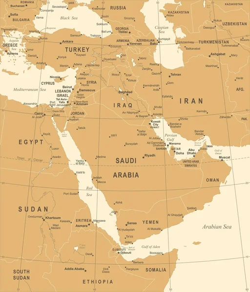
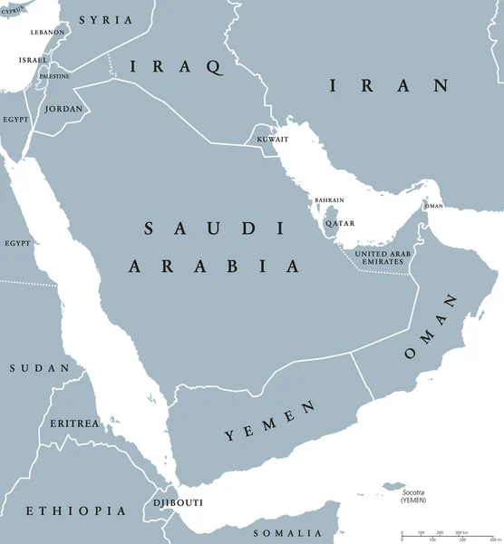
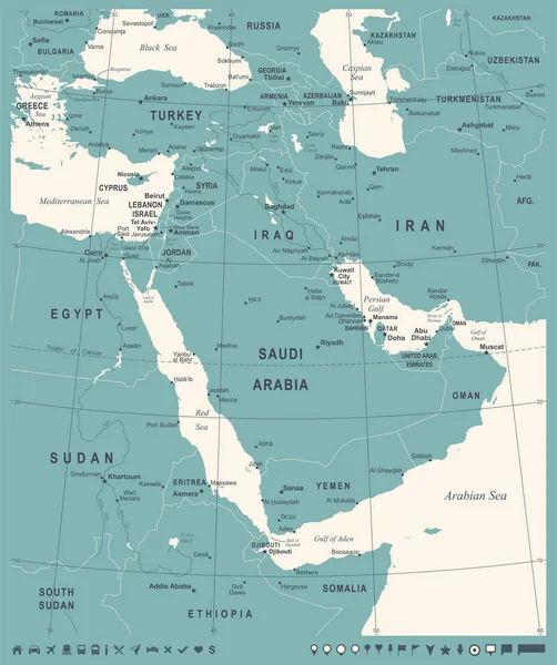
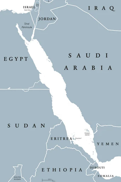
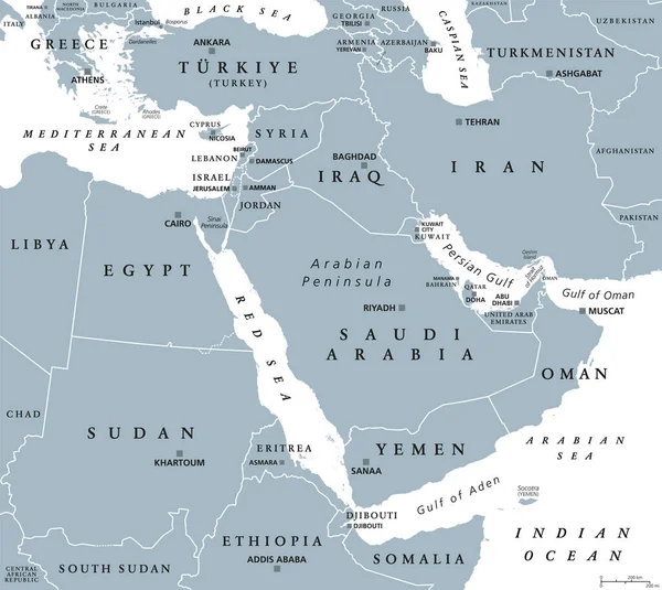
Stock vector The Middle East, gray political map with capitals and international borders. Geopolitical region encompassing the Arabian Peninsula, the Levant, Turkey, Egypt, Iran and Iraq. Also called Near East.
Published:
Oct.15, 2023 23:54:19
Author:
Furian
Views:
18
Downloads:
2
File type:
vector
/
eps
File size:
4.56 MB
Orginal size:
6720
x
6000
px
Available sizes:
S
(500 x 446)
M
(1000 x 893)
L
(2000 x 1786)
XL
(6720 x 6000)
VECT
(6720 x 6000)
EL0
(6720 x 6000)
Level:
silver
Download Vector
Vector topics:
Vector
Illustration
Border
Gray
Capital
Europe
Country
Map
Cartography
Geography
Africa
Egypt
Land
Mediterranean
Turkey
Overview
State
Arab
Boundary
Israel
Region
Iraq
Atlas
Arabia
Emirates
Nation
Persia
Sinai
Syria
Lebanon
Mapping
Iran
Sudan
Geopolitical
Levant
Red Sea
Middle East
Arabian Peninsula
Mediterranean Sea
Saudi Arabia
Middle Eastern
Sinai Peninsula
North Africa
Near East
Persian Gulf
Political Map
Gulf Countries
Western Asia
West Asia
Strait Of Hormuz
Similar stock vectors
Middle East Political Map
7393 × 8666
Middle East Political Map
7392 × 8666
Middle East Map - Vector Illustration
5500 × 6443
Middle East Map - Vintage Vector Illustration
5500 × 6444
Arabian Peninsula Countries Political Map
7725 × 8333
Middle East Map - Vintage Vector Illustration
5500 × 6416
Middle East Map - Vintage Vector Illustration
5500 × 6574
Red Sea Political Map
6444 × 9666