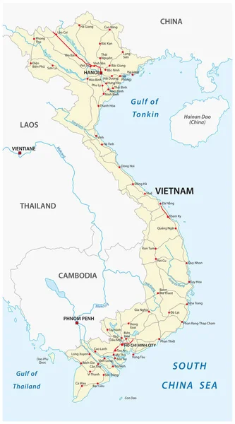
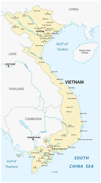
Stock vector The vietnam vector map
Published: Dec.25, 2017 07:34:30
Author: Lesniewski
Views: 69
Downloads: 3
File type: vector / eps
File size: 0.93 MB
Orginal size: 3100 x 5582 px
Available sizes:
Level: bronze