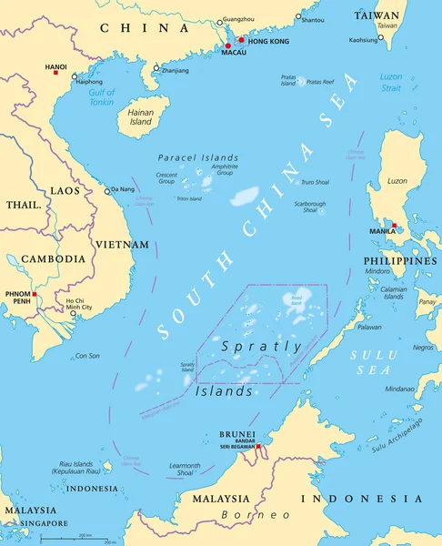
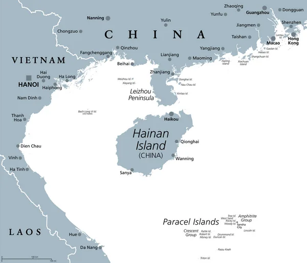
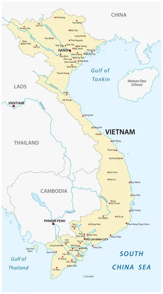
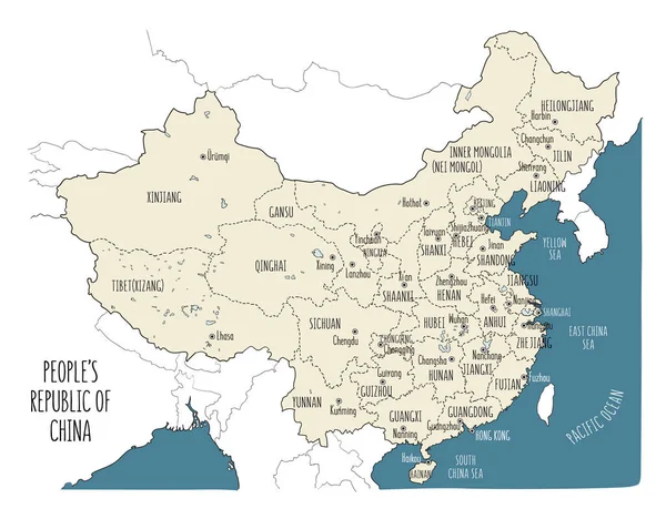
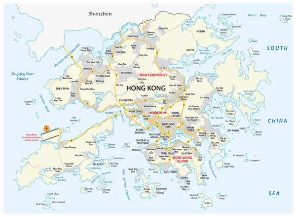
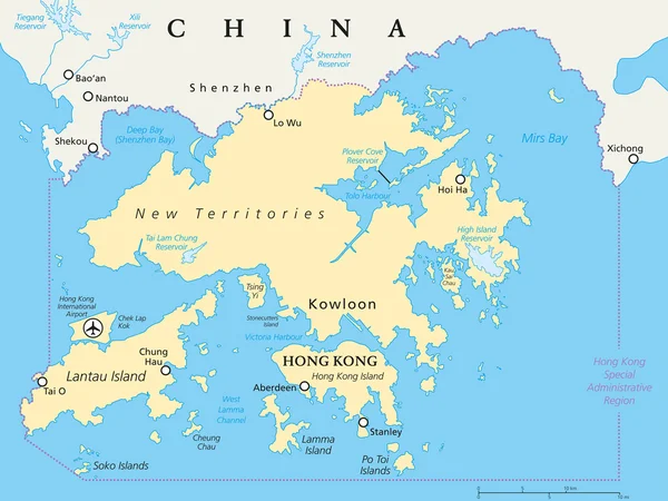
Stock vector Hong Kong And Vicinity Political Map
Published: Sep.08, 2015 13:10:11
Author: Furian
Views: 1163
Downloads: 19
File type: vector / eps
File size: 2.21 MB
Orginal size: 7991 x 6000 px
Available sizes:
Level: silver