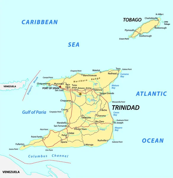
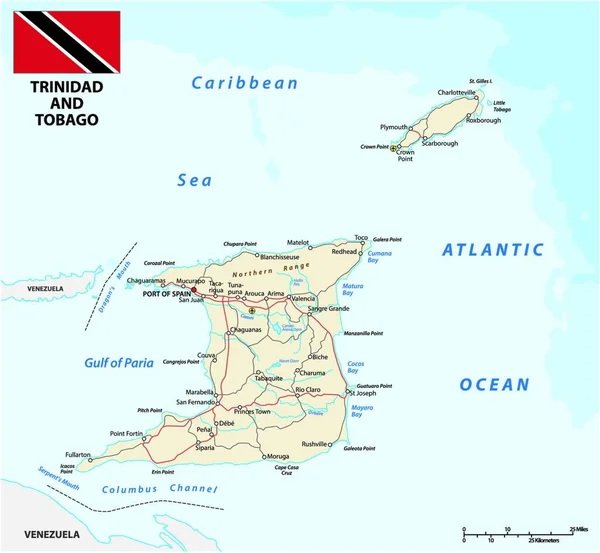
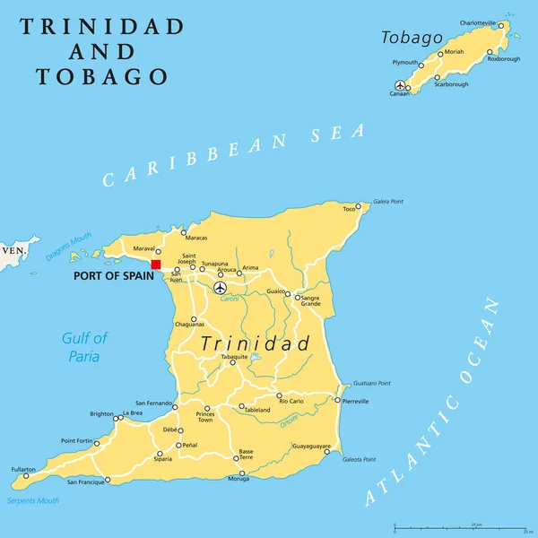
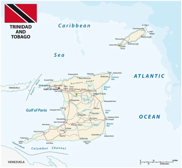
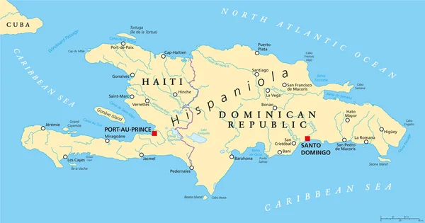
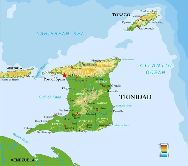
Stock vector Trinidad and Tobago highly detailed physical map
Published: Nov.04, 2021 07:57:48
Author: BogdanSerban
Views: 18
Downloads: 1
File type: vector / eps
File size: 2.33 MB
Orginal size: 7500 x 6638 px
Available sizes:
Level: beginner