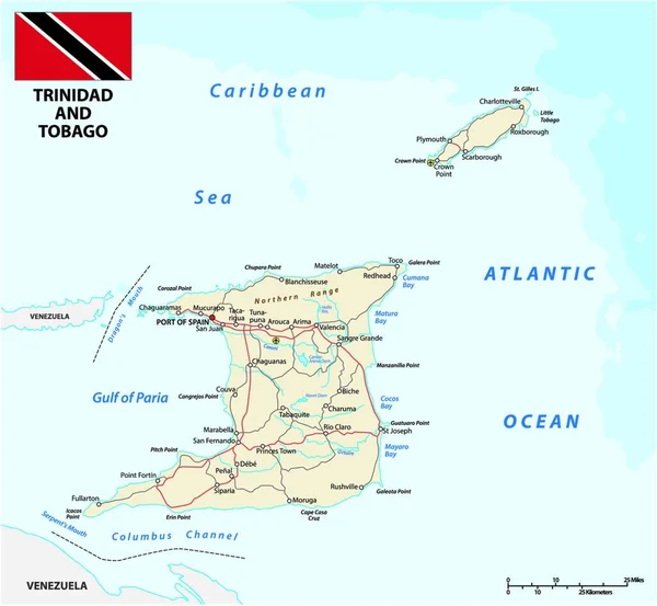
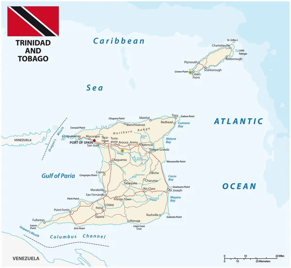
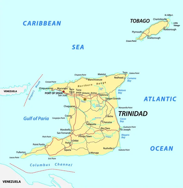
Stock vector trinidad and tobago road map
Published: Aug.03, 2020 07:52:48
Author: PantherMediaSeller
Views: 1
Downloads: 0
File type: vector / zip
File size: 0 MB
Orginal size: 6536 x 6712 px
Available sizes:
Level: platinum