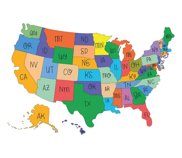
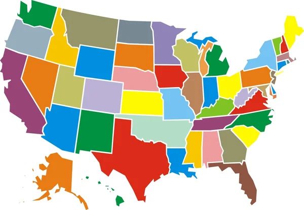
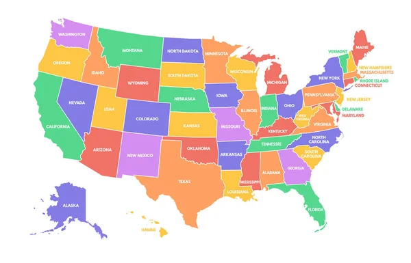
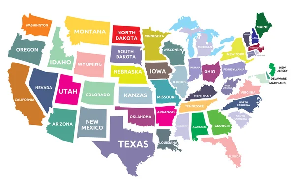
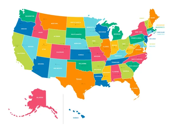
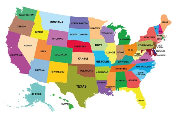
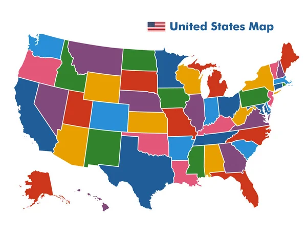
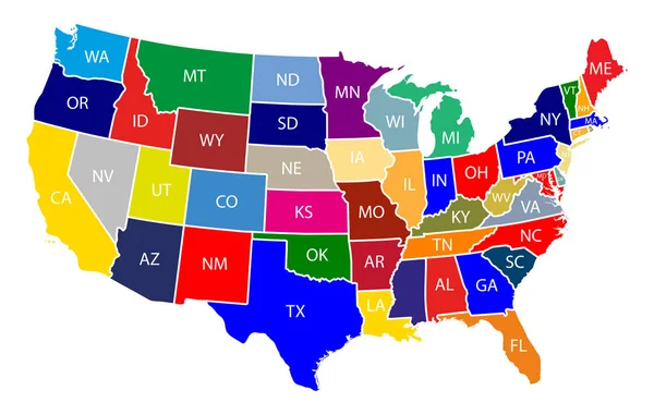
Stock vector Map of The United States of America with Colorful States with Name Illustration on White Background
Published: May.10, 2019 04:25:15
Author: Stock_Ninja_Studio
Views: 777
Downloads: 11
File type: vector / eps
File size: 0.68 MB
Orginal size: 9167 x 5834 px
Available sizes:
Level: beginner