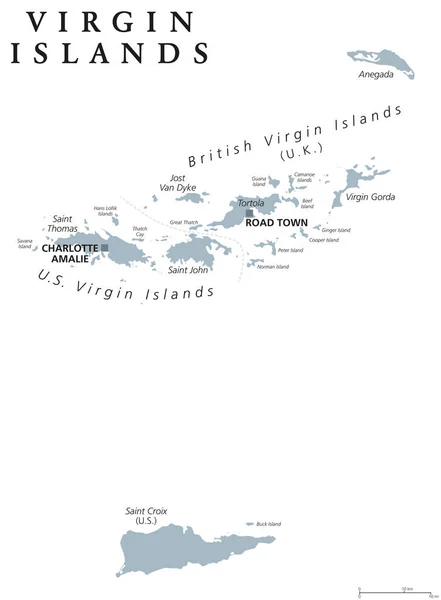
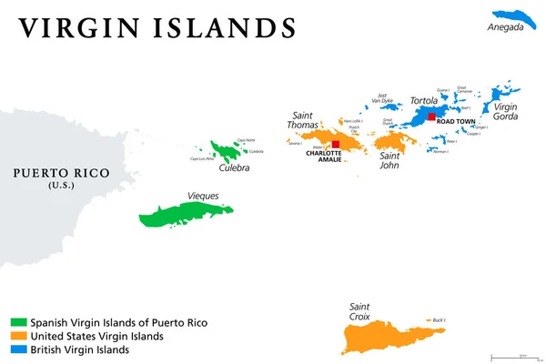
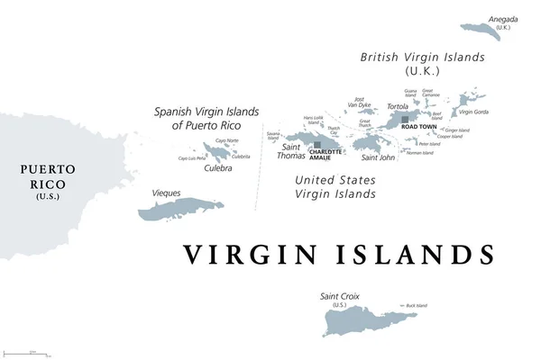
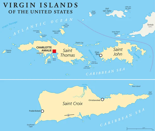
Stock vector United States Virgin Islands Political Map
Published: Apr.14, 2015 05:21:29
Author: Furian
Views: 747
Downloads: 20
File type: vector / eps
File size: 1.22 MB
Orginal size: 7067 x 6000 px
Available sizes:
Level: silver