Home
Images
Vectors
Videos
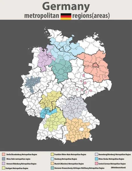
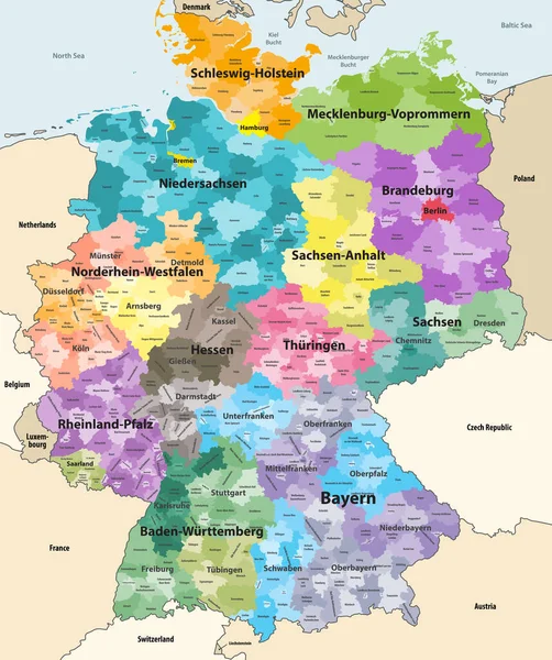
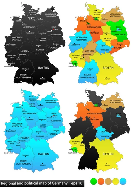
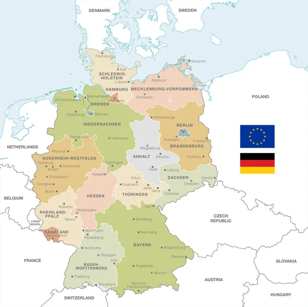
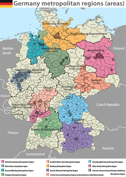
Stock vector vector high detailed map of Germany metropolitan regions (areas)
Published:
Apr.10, 2018 12:52:40
Author:
Jktu_21
Views:
101
Downloads:
0
File type:
vector
/
eps
File size:
12.23 MB
Orginal size:
5888
x
8250
px
Available sizes:
S
(357 x 500)
M
(714 x 1000)
L
(1427 x 2000)
XL
(5888 x 8250)
VECT
(5888 x 8250)
EL0
(5888 x 8250)
Level:
silver
Download Vector
Vector topics:
Vector
Background
Illustration
Design
Isolated
Travel
Border
Flag
Symbol
Concept
City
Country
Map
Cartography
Geography
Area
Germany
State
Frankfurt
Berlin
Deutschland
Region
Hamburger
Neckar
Metropolitan
Megalopolis
Rhine
Nuremberg
Brandenburg
Munich
Bremen
Oldenburg
Rhinestones
Hanover
Ruhr
Braunschweig
Wolfsburg
Central German
Similar stock vectors
Vector High Detailed Map Of Germany Metropolitan Regions (areas)
6456 × 8334
Germany High Detailed Vector Map With Neighbouring Countries And Territories. Map Colored By States And Administrative Districts, With Subdivisions
6975 × 8333
Political And Location Map Of Germany. Versatile File, Every Piece Is Selectable And Editable In Layers Panel. Turn On And Off Visibility Of Every Province In One Click. Vector, Eps 10.
3840 × 5400
Map Of Germany With All Cities Over One Hundred Thousand Inhabitants In German Language
3656 × 4000
Vector Map Of Germany With Administrative Borders, City And Region Names And International Bordering Countries In Soft Colors Palette
6000 × 5990
Map Of Germany
3468 × 4614
Vector Illustrated Blank Map Of Germany With Federated States Or Regions And Administrative Divisions, And Neighbouring Countries. Editable And Clearly Labeled Layers.
4000 × 5000
Germany Map (colored By States And Administrative Districts) With Subdivisions
5788 × 7188