photo free
Home Images Vectors Videos

Stock vector Vector illustrated map of India with states and territories and administrative divisions, and neighbouring countries. Editable and clearly labeled layers.
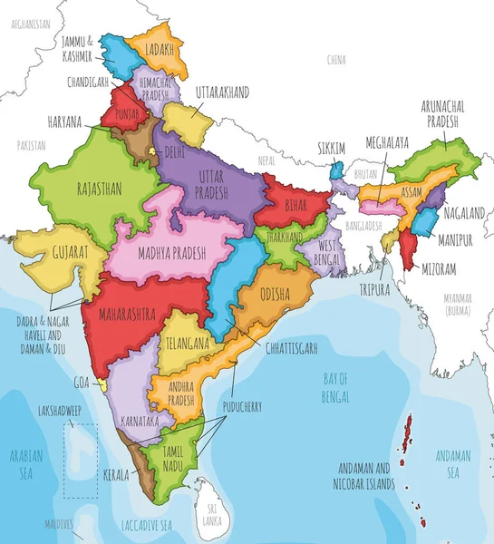
Stock vector Vector illustrated map of India with states and territories and administrative divisions, and neighbouring countries. Editable and clearly labeled layers.
Published: Jul.09, 2022 02:57:45
Author: asantosg
Views: 21
Downloads: 0
File type: vector / eps
File size: 6.27 MB
Orginal size: 4250 x 4675 px
Available sizes:
S
(455 x 500)
M
(909 x 1000)
L
(1818 x 2000)
XL
(4250 x 4675)
VECT
(4250 x 4675)
EL0
(4250 x 4675)
Level: bronze
Download Vector
Vector topics:

Similar stock vectors

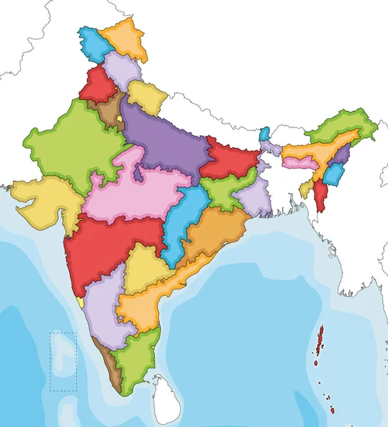
stock vector Vector illustrated blank map of India with states and territories and administrative divisions, and neighbouring countries. Editable and clearly labeled layers.

Vector Illustrated Blank Map Of India With States And Territories And Administrative Divisions, And Neighbouring Countries. Editable And Clearly Labeled Layers.

4250 × 4675
stock vector Highly detailed map of India.

Highly Detailed Map Of India.

4201 × 4995
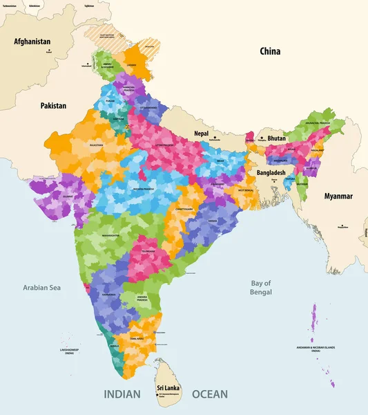
stock vector Map of India with neighbouring countries and territories. Indian map colored by states and showing districts boundaries inside each state. Vector illustration

Map Of India With Neighbouring Countries And Territories. Indian Map Colored By States And Showing Districts Boundaries Inside Each State. Vector Illustration

7402 × 8334
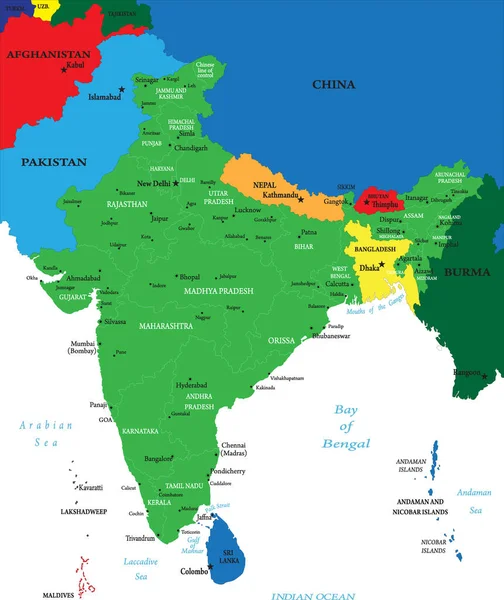
stock vector Colorful India political map with clearly labeled, separated layers. Vector illustration.

Colorful India Political Map With Clearly Labeled, Separated Layers. Vector Illustration.

4185 × 4624
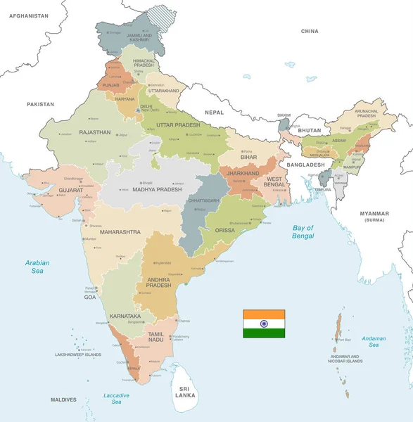
stock vector Vector Map of India with Administrative borders, City and Region Names and international bordering countries in soft colors palette

Vector Map Of India With Administrative Borders, City And Region Names And International Bordering Countries In Soft Colors Palette

6000 × 6133
stock vector Vector illustration of administrative division map of India. Vector map.

Vector Illustration Of Administrative Division Map Of India. Vector Map.

4500 × 4500
stock vector India Administrative Map. Vector illustration.

India Administrative Map. Vector Illustration.

4000 × 4771
stock vector High quality colorful labeled map of India with borders of the states

High Quality Colorful Labeled Map Of India With Borders Of The States

4000 × 4000